
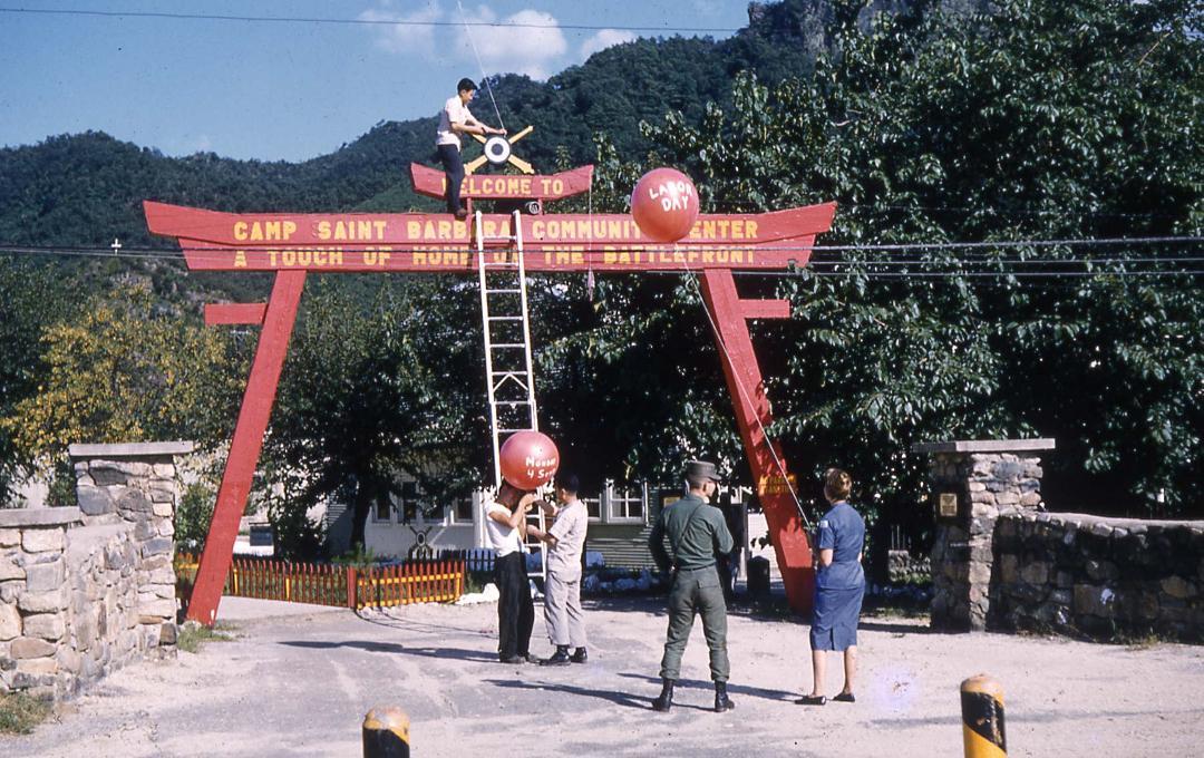
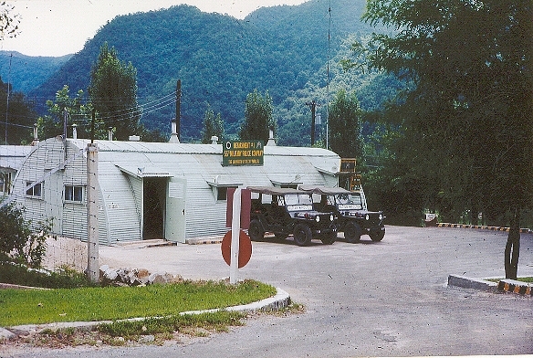
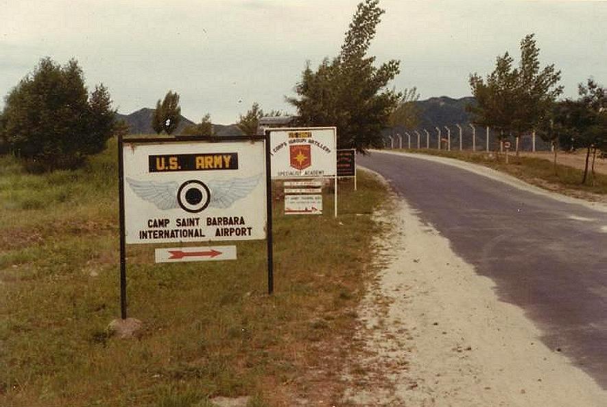
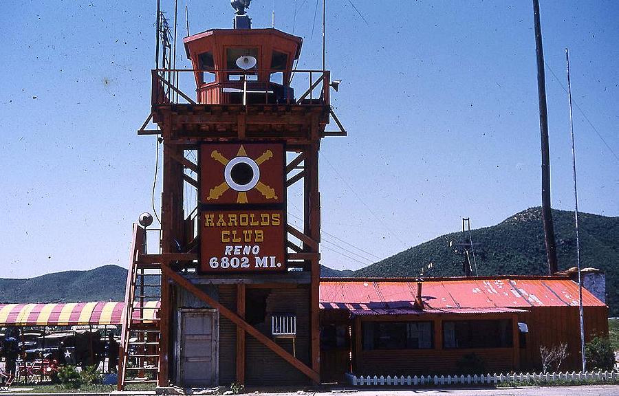
Camp St Barbara Korea
Home of I Corps Artillery from 1952 to 1971

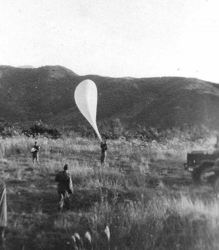
A Battery 1st TAD 25th Arty
PFC Larry Fivecoats, James Wojcik, Sam Donnellson
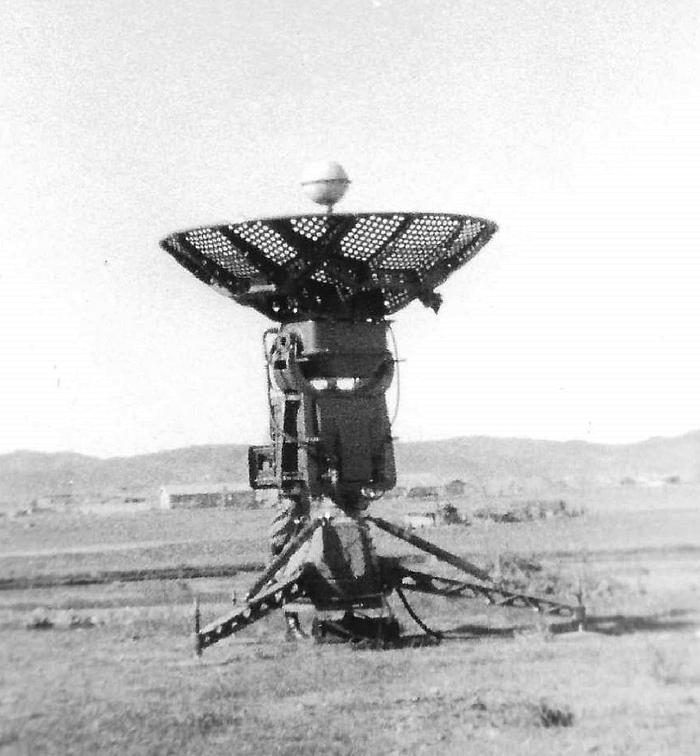
A Rawinsonde antenna for tracking radiosondes, and collecting weather data.Ā
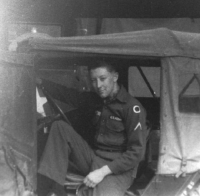
PFC Dennis Hauze
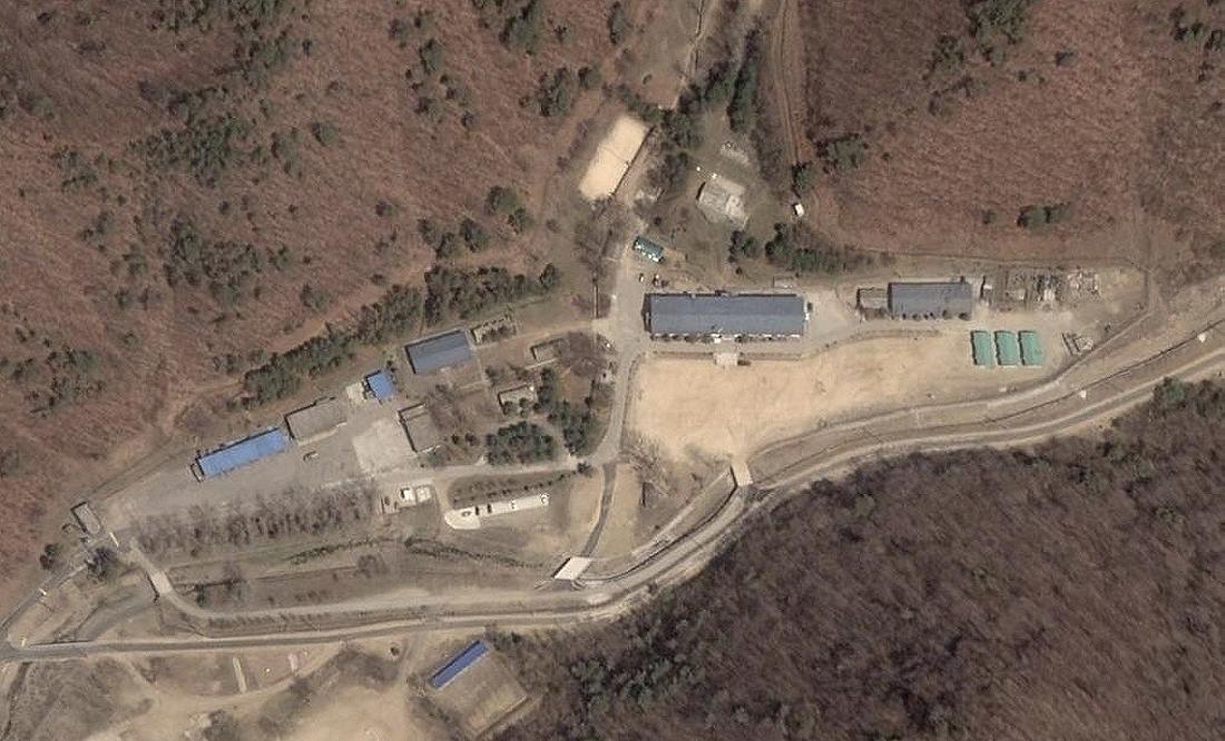
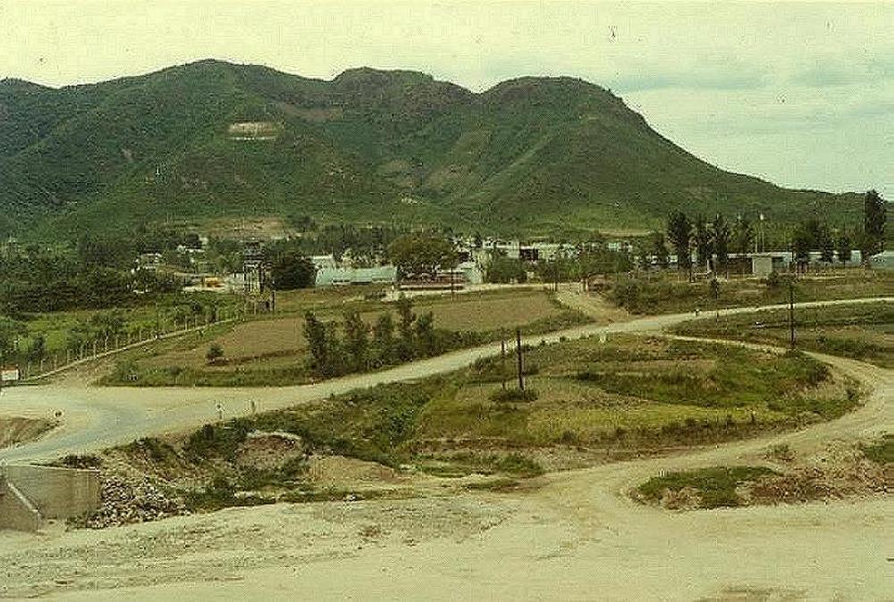
This is the same area today, viewed with Google Earth
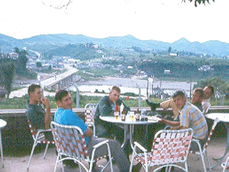
Some of the guys having a "Cold One" at the NCO Club
That is the bridge going to Tuam Dong near the Main Gate in the back ground.
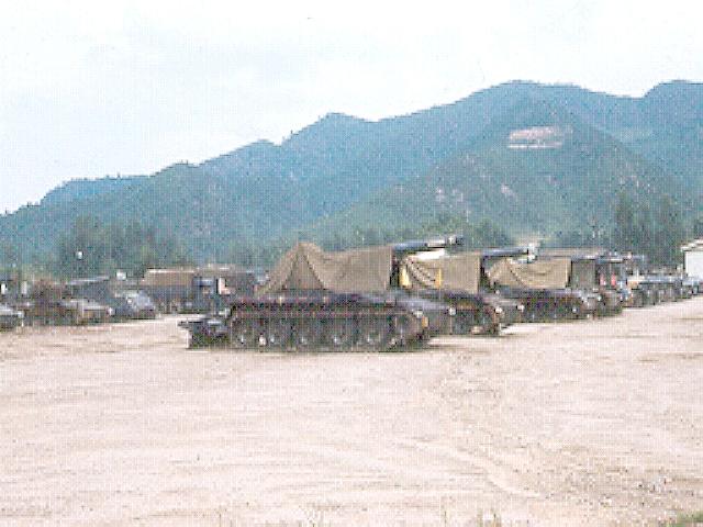
The Gun Park of the 2/76 FA
The 2nd of the 76th FA area from a distance
The Big Guns

M110 8 inch SP Howitzer

M107 175mm Field Gun
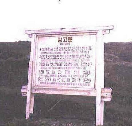
I saw one of these signs while driving from Cp. St Barbara to one of our Detachments near the JSA area.
Since it did not have any information in English, I didn't think it was important. Since I didn't have a map, I
was using a compass. Well, seems I was going mostly West, instead of South West. What a mistake
that was. I was VERY lucky to run into a South Korean patrol IN SIDE the DMZ, and they escorted me out of it.
They did not report it to the US Army, and neither did I. I was wondering why the road was so poorly maintained.
It was a gravel road like the others at first, but got worse as I drove. At the point where I met the patrol, it was
not much more than a trail. Seems that it was used only for DMZ Patrols. During the 60s, and early 70s, large
parts of the southern boundary of the DMZ in the central area were only marked with wire. Where I came out of
it in the western area, was fully fenced and had a huge gate to go through. It was guarded by South Korean
soldiers. I did not understand the soldiers much earlier, but fully understood when I say which side of the gate
that the guards were on, and where we came from.
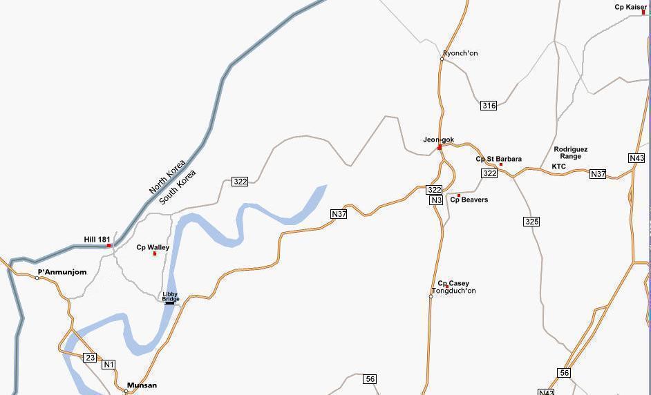
After doing some checking, I found out that I had taken Rt 322 instead of 37 in Chon-gok (no signs then), and it took me more west,, than south west. I had past to the west of Camp Walley, then came back through the fence just south west of it, and ended up coming across Libby Bridge, and into the area that I was headed to.
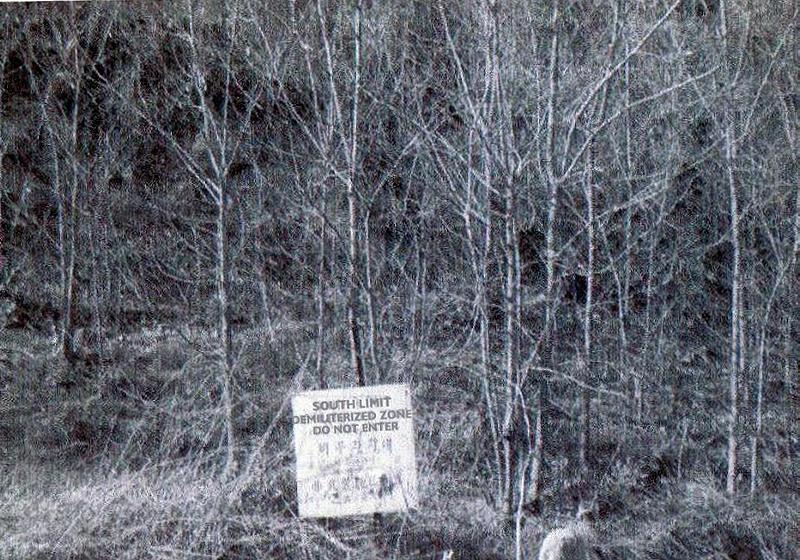
Several sections along the cetral area of the DMZ only had these signs,
and a single strand of wire marking the South Limits even in 1970
If you have any pictures that you would like to add to this, please e mail them to me
 E-mail to Bruce
Camp St Barbara Pictures
Pictures North of the 38th
The Law, North of the 38th Pictures
Camp St Barbara in the 1950s
Camp St Barbara in the 1960s
=> Pictures of Camp St Barbara Area 2006 <=
The Ville
D Co 4th Maintenance Bn At Cp Saint Barbara
D Co 4th Maintenance Bn At Cp Stanley
The History of Camp St Barbara Korea
I Corps History
Back to my Assigments Page
E mail to Bruce Richards
