PJ8A and PJ7B St. Maarten Web Page
(Site created and maintained by W8EB)
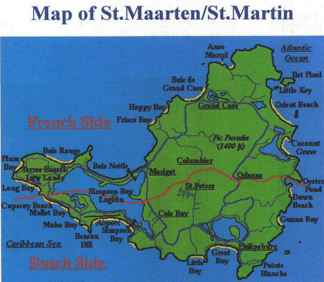
St. Maarten is situated in the Caribbean Sea, 18.02 latitude, 63.07 longitude and about 1250 miles southeast of Miami, Florida. It is only 37 square miles in size but it has been owned jointly by two countries, France and Netherlands since the 1600's. The north side is French and the south side is Dutch. The French side is spelled St. Martin, the Dutch side is spelled Sint Maarten. The Red line in the map below indicates the French side and the Dutch side.
According to popular legend, the final division of the island between the French and the Dutch was settled by a curious race. A Dutchman and a Frenchman stood back to back and started to circumnavigate the island on foot. The starting point was Oyster Pond on the east of the island: the Frenchman was ordered to walk north along the coast and the Dutchman south. Where the two met would determine the boarder crossing between the two sides.
The story goes that the Dutchman walked armed with a flask of old Dutch Gin, still available on the island, and the Frenchman, true to his Gallic roots, carried a flask of wine. The Frenchman managed to cover considerably more ground then that of his rival, winning for France the lion's share of the island's territory. The final total was 21 square miles for France and 16 square miles for the Netherlands.
 The French side is part of the French West Indies with its capitol being Marigot. French is the primary language, the electricity is like in France, 220 volt 50 cycle. The "Euro" is used as the monetary system although the U.S. Dollar is freely accepted. The Euro is worth about $1.30 American although many French stores and resturants were doing a one for one..
Great restaurants on the French side, especially in Grand Case. And one of the most beautiful beaches in the world is found on the northeast side of the island, called Orient Beach. As with most of the 36 beaches on the island clothing is optional and when you walk the beaches you get to see all types, shapes and sizes of the human body.
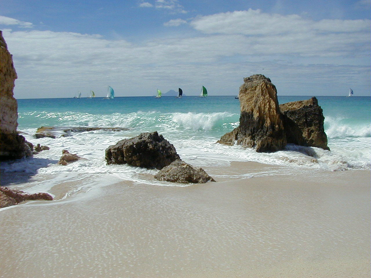
The Dutch side also has some of the most photographic beaches, Cupecoy Beach being one of the most photographed, see photo below right. This photo shows some of the sailboats in the Heineken Regatta Race and the island of Saba in the background.
Look to the lower left-hand corner of the map above and you will locate Cupecoy Beach, this is where our timeshare is located. Nice to have a 10 story building with salt water all around the antenna system. Gambling and lots of nightlife is present on the Dutch side. Phillipsburg is the Dutch capitol.
St. Maarten is close to Anguilla, a British island, St. Barths, a French island, Saba and Sint Eustatius, Dutch islands and St. Kitts and Nevis which are independent islands.
From our condo patio which faces the south, see picture below, we can see Saba, St. Eustatius and St. Kitts and Nevis. Sometimes the cloud cover on the islands will make them disappear.
The Atlantic Ocean is on the east side of the island and the Caribbean Ocean is on the south and west side of the island. There is a steady breeze that generally comes from the east. The average daily temperature is about 84 degrees Fahrenheit.
 The time between the months of September to November is the hurricane season for the Caribbean Islands. Most recent hurricanes of Luis (1995) and Lenny (1999) were very damaging to the island of St. Maarten. The property around Mullet Bay has yet to be rebuilt, hundreds of Condo units still are in a total state of destruction.
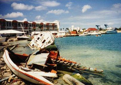
This is an example of the damage done by Hurricane Luis, September 1995 on Simpson Lagoon which is a large salt water lake in the middle of the island.
Over 400 boats were destroyed in the lagoon alone. Many lives were lost during this hurricane.
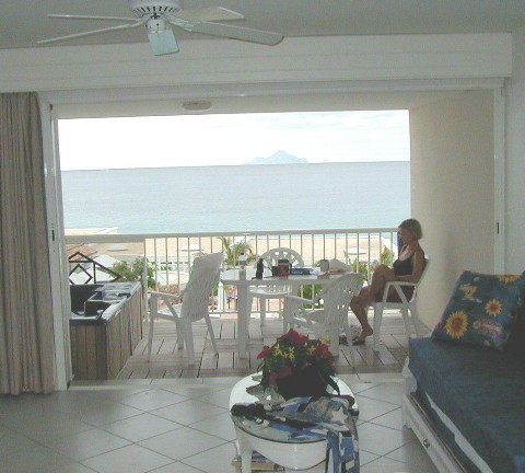 Here is a picture taken from our condo living room which faces south over looking the Caribbean Ocean and the island of Saba.
That is Dorothy, W8DVC having her morning coffee.
Dorothy and I own five (5) weeks of timeshare, the last week of February and the entire month of March. We have been coming to the island since 1994 first on a cruise ship and then the next year we stayed at Grand Case, on the northwest side of the island, French side,(FS).
We liked the island so much that we shopped for a timeshare hotel that would allow us to put up antennas and operate the ham radio station without any hassle. We settled on the Sapphire Beach Club, located on the southwest side of the island, Dutch side, on Cupecoy Bay
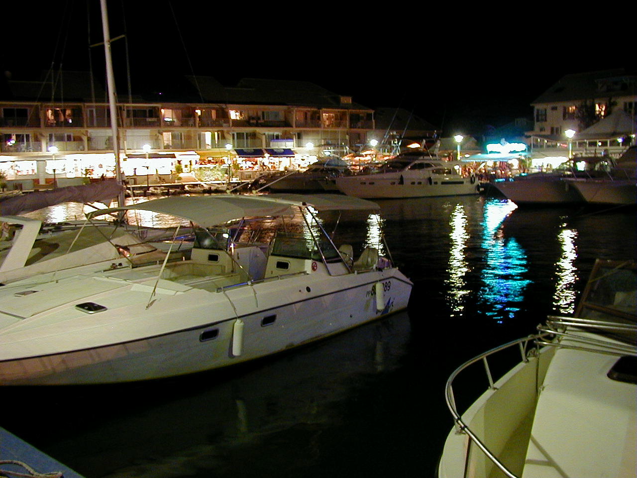 To the right is an evening photo of Marigot, the capitol of the French side of St. Martin showing the marina and some of the wonderful restaurants.
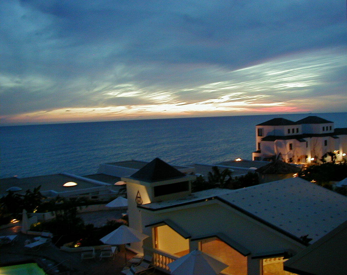
To the left is an evening photo from our condo balcony showing the most wonderful sunset ever which gives the promise of another fantastic day on the island.
CLICK TO RETURN TO TOP