
JASON'S STORM CHASING WORLD
\chaser\chasedays\030531.html
| May 31st, 2003 |
Moderate Risk was issued for today n the eastern Carolinas and south eastern Virginia. I tried to get a nader, but no luck. There was one reported at the North Carolina border with Viginia, but I didn't get that one. Did get to see a good rotating wall cloud from directly underneath. Over all a good chase day.
005710 |
005712 |
005713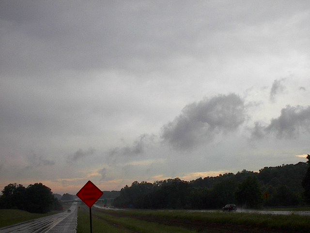 |
005714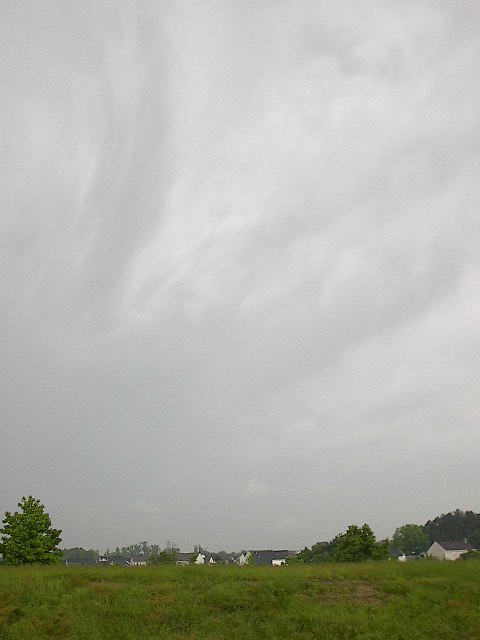 |
005716 |
005719 |
005721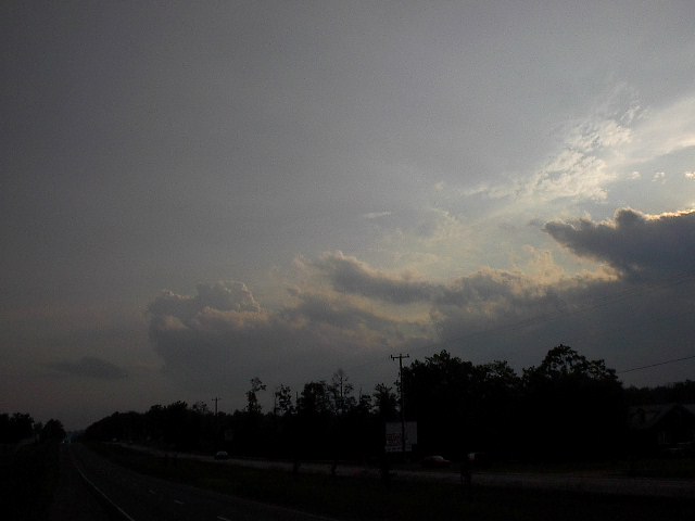 |
005725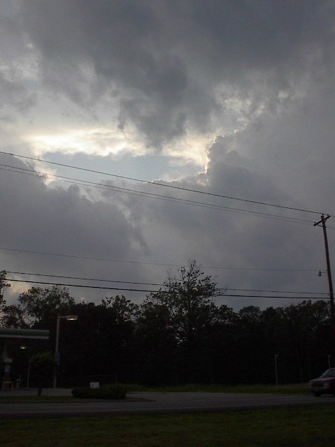 |
005727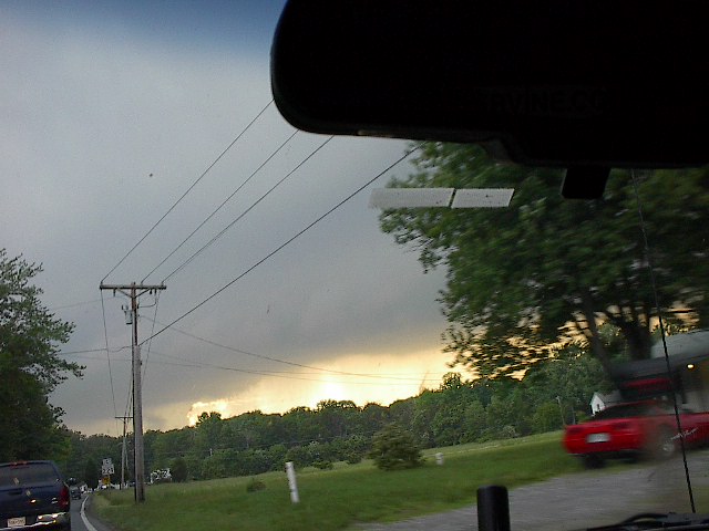 |
005728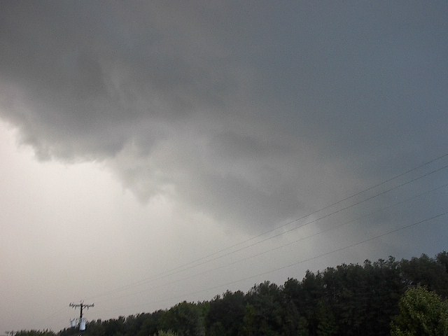 |
005729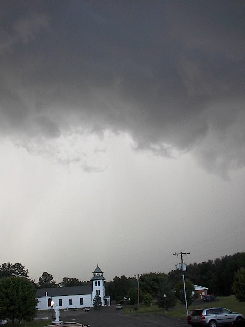 |
005730 |
005731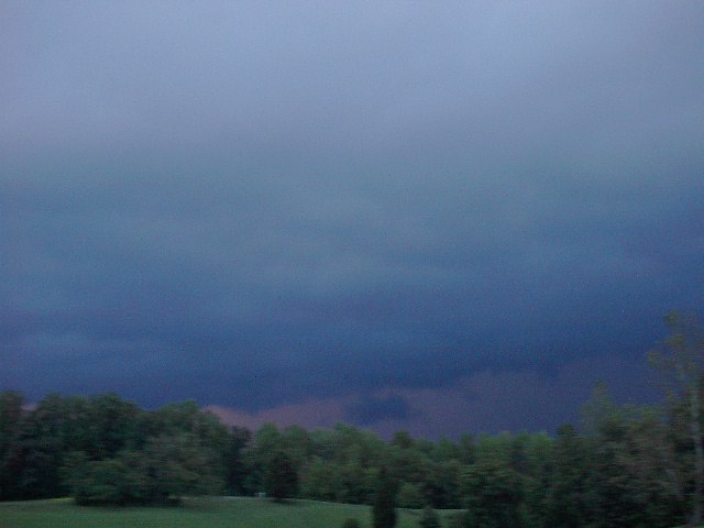 |
005732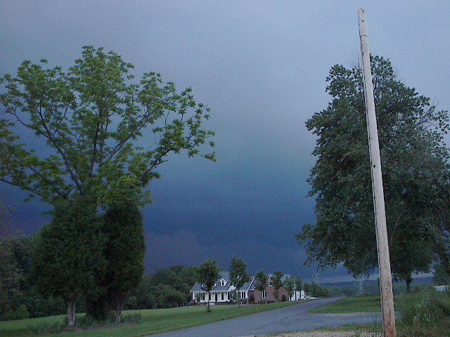 |
005733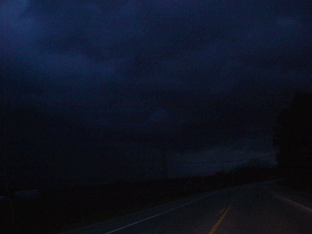 |
005735 |
| Tornado? | Hail? | High Winds? | Bust? | No Chase! | Other comment: |
| yes-not witnessed | yes-not witnessed | yes-witnessed | no | n/a | see log |
Log:
12:30pm - Depature from home residence
2:00pm - nearing Richmond, Virginai
3:00pm - South of Richmond, VA, U-Turn, heading north.
7:00pm - closing in one new cell in Charles, County, Maryland
7:30pm - under meso and wall cloud. strong rotation filmed. possible funnel cloud, hard to tell from my viewing angle (directly underneath).
9:00pm - depart for home
10:30pm - arrive home
SPC MESOSCALE DISCUSSION and NWS WARNINGS
PRELIMINARY LOCAL STORM REPORT
Storm Prediction Center:
If you'd like to email me, please mail me at this address:
mrsuprcell@aol.com
Introduction,
Partners,
Checklists, Cost Overview, Chase Logs,
Vehicle List,
Links, Pictures,
Weather,
Home