
.jpg)

|
|
|
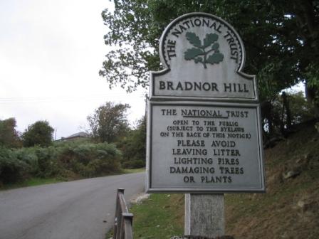
Bradnor Hill, G/WB-011 - 391m ASL - SO 282 584 - OS Explorer 201 - 1 SOTA
point
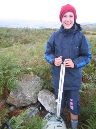
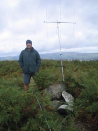
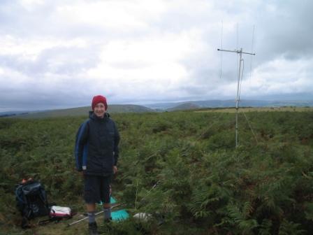
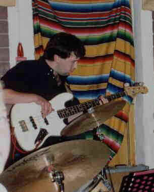
From Hergest Ridge G/WB-008, a short drive across Kington took us to the town's golf course and the approach to Bradnor Hill. A tarmac road with public access leads halfway up the golf course to a small parking area. We left the car here and made the short walk across the course, which is also National Trust land. Again, Jimmy wanted to locate the true summit for one where the previous visit had been to nothing more specific than the activation zone. We wandered carefully around the rough ground between the greens and fairways, and found a pile of stones hidden in the ferns on the highest part of the hill. We satisfied ourselves that the true summit had been located, and set up the radio gear.
The contacts came more quickly this time, and I had qualified the activation with four contacts inside half-an-hour. However, Jimmy had not worked one of the stations, so he still required a fourth contact, and this proved to be a long time in coming. Another activation that took more than one hour to collect the necessary contacts, and the dream of a six summit SOTA day was in tatters. Still, it was before 3pm, so two further summits was certainly a feasible prospect, especially ones for which we knew the parking spots and routes. We returned to the car and set off for Wapley Hill G/WB-016.
Many thanks to the following stations, all worked on 2m FM with 2.5 watts:
|
|
|