

|
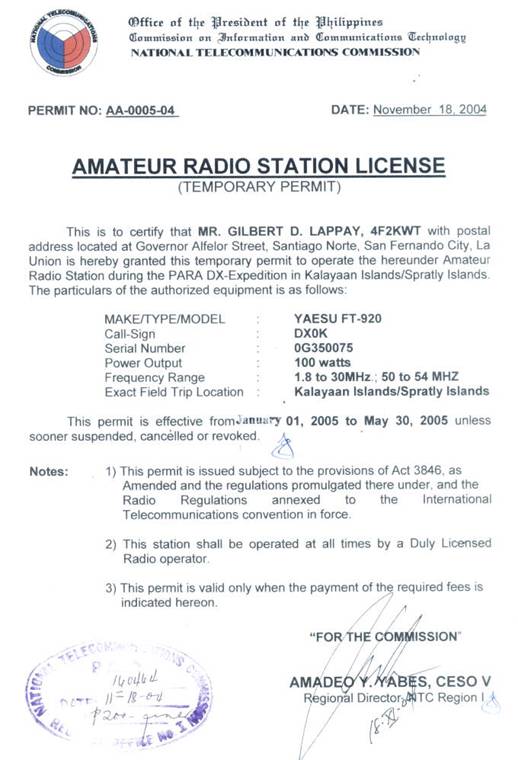
DX0K |
|
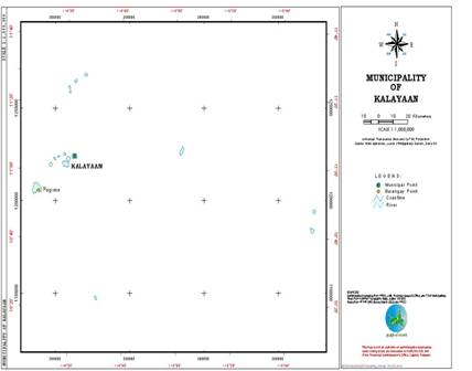
Scale map of Kalayaan Island Group Pagasa I is at 11o03’N 114o17’ E |
|
The Philippines has territorial jurisdiction and sovereignty over the Kalayaan Island Group which forms part of the Spratly Island Group. The Municipality of Kalayaan is located in the Province of Palawan, Republic of the Philippines. Pagasa is the biggest island of the group and it is 32.7 hectares. It is 903 Kilometers (579 miles) due southwest of Manila. It is the site of operation. There have been activities in the Spratlys from foreign controlled islands but this may be the only activation from the Philippine territories in the area after a very long time. Operation will be on 160 to 6M with wire antennas and a Force 12 C3S in a DXpedition Kit. 2 stations will be on simultaneously. We will bring a generator to complement the intermittent operation of the municipality's generator. |
|
Team Members |

|
Gil Lappay, 4F2KWT |
|
Nicky Academia, DU1JXP |
|
Ed Soriano, 4F1OZ |
|
Ed Valdez, DU1EV |


|
Pictures of the February 2 to February 23 operation |


|
ARRIVAL: Feb. 1, 2005 |
|
Posing with proof |
|
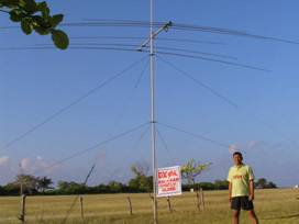
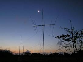
Force 12 Yagi is up |
|
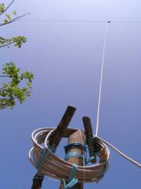
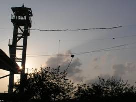
Low band dipole goes up first. K6YK is logged on 40M CW for QSO #1 |
|
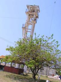
Lighthouse tower supports W9INN 160/80/40 dipole sloping towards NE |
|
Yagi at sunrise |
|
3 Element wire yagi for 6 mtrs. with dipole at background |
|
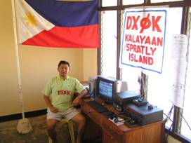
Operating position |
|
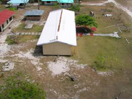
Looking down from the tower. Yagi at right and dead tree at left supports lower leg of dipole and solar charger |
|
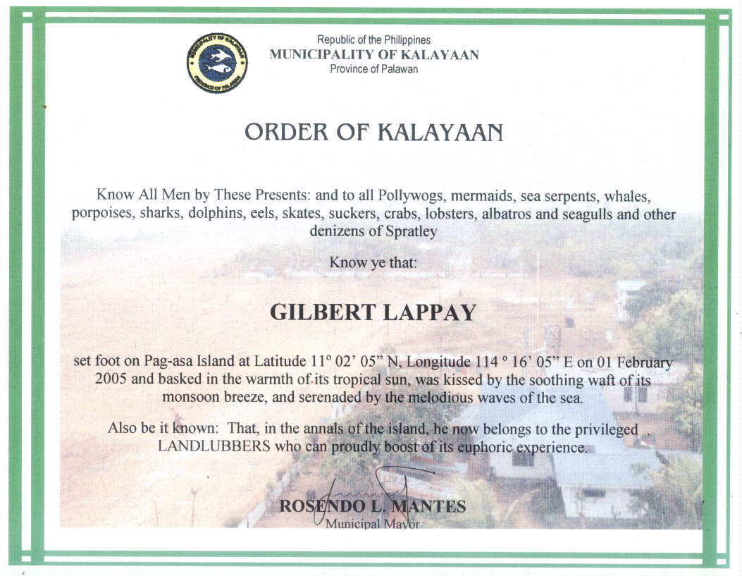
Certificate for visiting Kalayaan/Spratly. The place is really a nature lover’s paradise, HAM’s too |

|
Mike Hogar, DU1MHX |
|
Check if you are in the log... |


|
Web page Visits |
DX0K Log Search Page
Please use this applet to search the log of DX0K