
| Kingman
Reef |
|
 |
Location: Oceania, reef in the North Pacific Ocean, about one-half of the way from Hawaii to American Samoa
Geographic coordinates: 6 24 N, 162 24 W
Map references: Oceania
Area:
total: 1 sq km
land: 1 sq km
water: 0 sq km
Area - comparative: about 1.7 times the size of The Mall in Washington, DC
Land boundaries: 0 km
Coastline: 3 km
Maritime claims:
exclusive economic zone: 200 nm
territorial sea: 12 nm
Climate: tropical, but moderated by prevailing winds
Terrain: low and nearly level
Elevation extremes:
lowest point: Pacific Ocean 0 m
highest point: unnamed location 1 m
Natural resources: none
Land use:
arable land: 0%
permanent crops: 0%
permanent pastures: 0%
forests and woodland: 0%
other: 100%
Irrigated land: 0 sq km (1996)
Natural hazards: wet or awash most of the time, maximum elevation of about 1 meter makes Kingman Reef a maritime hazard
Environment - current issues: none
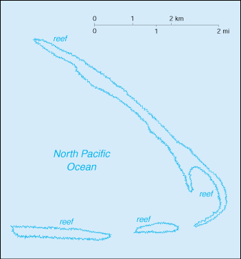
Geography - note: barren coral atoll with deep interior lagoon; closed to the public
Population: uninhabited (July 2000 est.)
Country name:
conventional long form: none
conventional short form: Kingman Reef
Data code: KQ
Dependency status: unincorporated territory of the US; administered from Washington, DC by the US Navy; however, it is awash the majority of the time, so it is not usable and is uninhabited
Flag description: the flag of the US is used
Economy - overview: no economic activity
Ports and harbors: none; offshore anchorage only
Airports: lagoon was used as a halfway station between Hawaii and American Samoa by Pan American Airways for flying boats in 1937 and 1938
Military - note: defense is the responsibility of the US
Disputes - international: none