Below are some pictures I took in June of 1998 when a potentially tornadic storm tracked directly across Duluth and into NW Wisconsin.
|
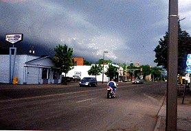
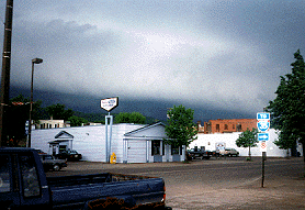
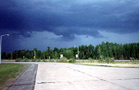
This was the scene at 5:15pm as the leading edge of the storm began to crest the hill in town. I had just raced home from work, loaded my equipment and taken off in order to get into a decent position. The Civil Defense sirens in the city were already sounding at this point. |
|
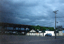
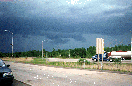
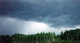
The images below were taken from the SE side of the storm as it was beginning to weaken. |
 |
 |
This cell continued into North Central Wisconsin and produced strong winds and hail, but no further severe activity. In all it was a fun evening to be out in the storm! |