Translate this page:
Camp St Barbara Korea
Home of I Corps Artillery
from 1954 to 1971
Click for larger view
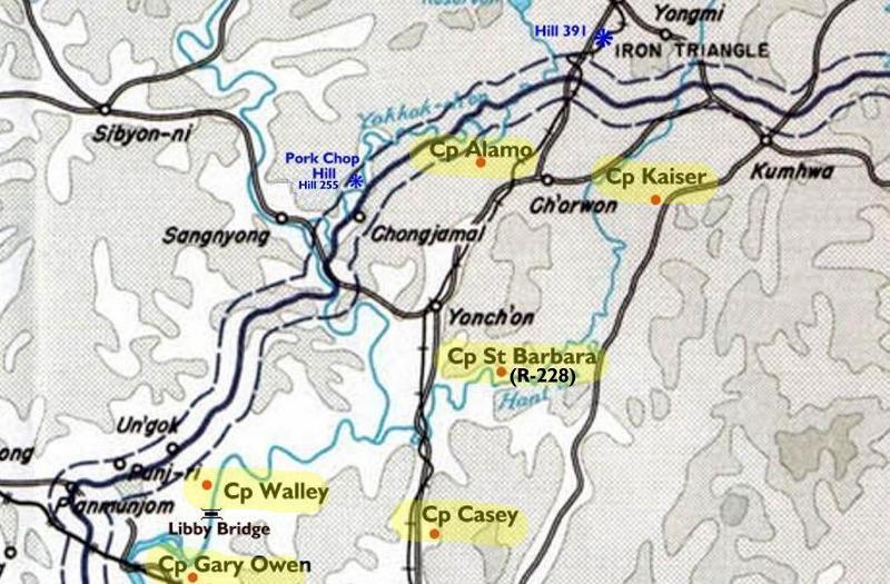
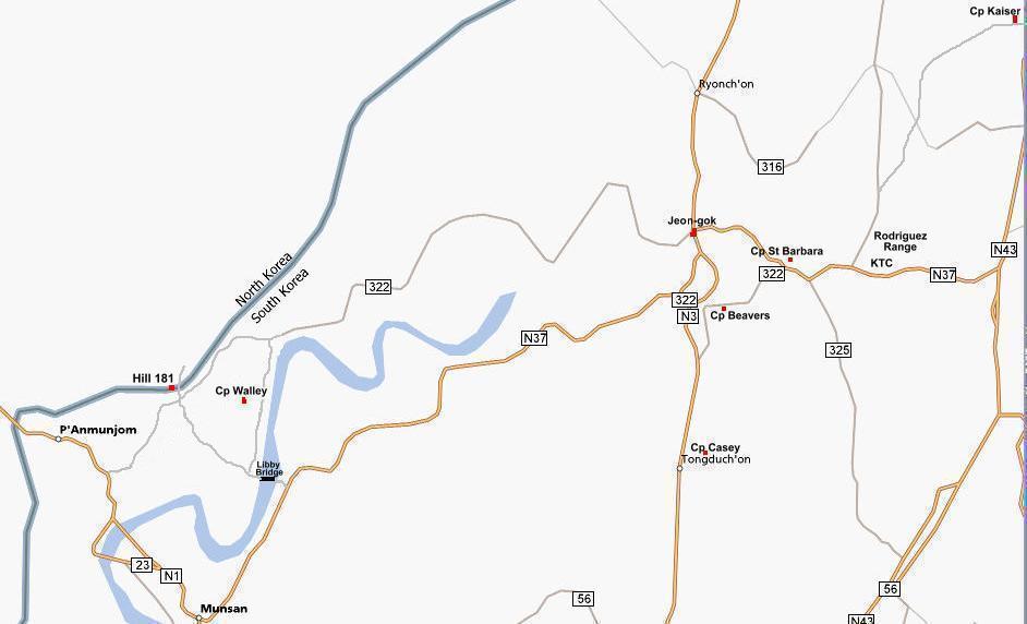
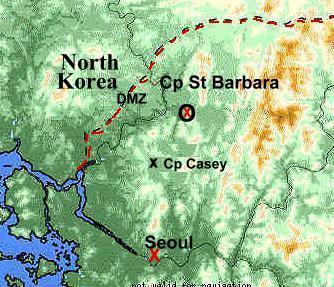
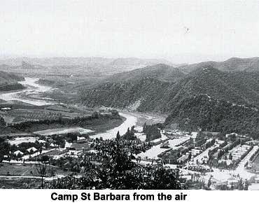
Where Camp St Barbara Was Located

Camp St Barara in 1953 just after Cease Fire
The Main Gate seen from the Ville

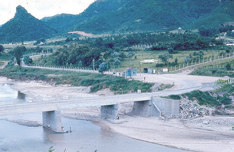
The Main Gate at Cp St Barbara
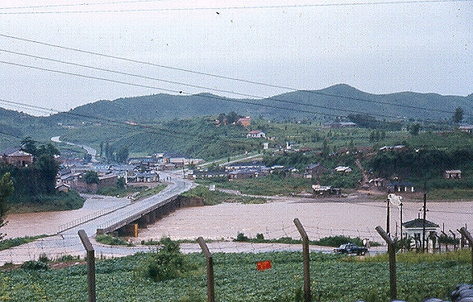
The Village and Main Gate area during a Flood


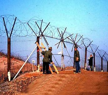

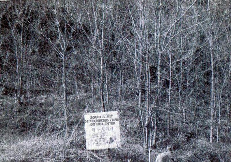
If you have seen these last 2 areas, you were too close to the DMZ/
Camp St Barbara Group on Facebook
The History of Camp St Barbara Korea
Camp St Barbara Pictures
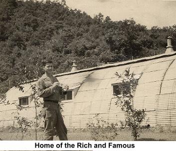
Camp St Barbara in 1950s
Camp St Barbara in 1960s
Camp St Barbara in 1970s
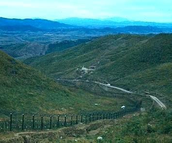
North of the 38th
Law North of the 38th
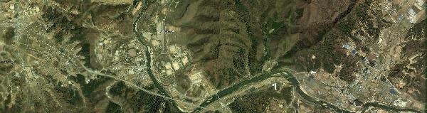
Cp St Barbara and Area 2010
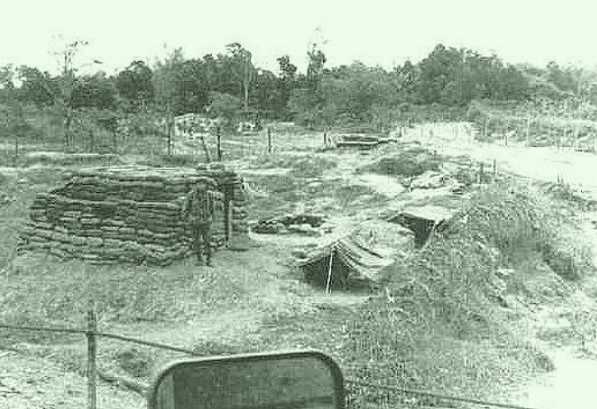
The Big Guns of Cp St Barbara
New March 2020
A Btry 1st Obsn Bn, 1957
D Co 4th Maintenance Bn At Cp Saint Barbara
I Corps History
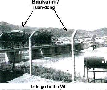
The Ville
Chinese Tunnel
A Drive through the Village
Home of I Corps Artillery
from 1954 to 1971
Click for larger view
Where Camp St Barbara Was Located
Camp St Barara in 1953 just after Cease Fire
The Main Gate seen from the Ville
The Main Gate at Cp St Barbara
The Village and Main Gate area during a Flood
If you have seen these last 2 areas, you were too close to the DMZ/
Camp St Barbara Group on Facebook
The History of Camp St Barbara Korea
Camp St Barbara Pictures
Camp St Barbara in 1950s
Camp St Barbara in 1960s
Camp St Barbara in 1970s
North of the 38th
Law North of the 38th
Cp St Barbara and Area 2010
The Big Guns of Cp St Barbara
New March 2020
A Btry 1st Obsn Bn, 1957
D Co 4th Maintenance Bn At Cp Saint Barbara
I Corps History
The Ville
Chinese Tunnel
A Drive through the Village
Camp St Barara in 1953 just after Cease Fire
The Main Gate seen from the Ville
The Main Gate at Cp St Barbara
The Village and Main Gate area during a Flood
If you have seen these last 2 areas, you were too close to the DMZ/
| Camp St Barbara Group on Facebook |
The History of Camp St Barbara Korea
Camp St Barbara Pictures
Camp St Barbara in 1950s
Camp St Barbara in 1960s
Camp St Barbara in 1970s
North of the 38th
Law North of the 38th
Cp St Barbara and Area 2010
The Big Guns of Cp St Barbara
New March 2020
A Btry 1st Obsn Bn, 1957
D Co 4th Maintenance Bn At Cp Saint Barbara
I Corps History
The Ville
Chinese Tunnel
A Drive through the Village