Cyclone Steve
Although
Steve is only ever been as high as Category Two, as far as I know, it's
the longest living cyclone ever seen in the southern Hemisphere and it's
dropped the most rain for a single cyclone.
It started off as a tropical low near North Queensland, took a tour of
the top of Australia, going past the northen area of the Northern Territory
and the reforming again just North of Broome as a category 1 cyclone.
The damage from Steve has been very minimal but it's the amount of rain
it has dropped in the time it's been active that is the biggest thing
!
Floods in QLd for several weeks, Northern Territory got a really good
dose of rain and the Kimberly and Pilbara region of Norht Western Australia
were also flooded and town isolated by road for a week or so. The Gascoyne
area of Western Australia is suspected to have a lot of rain dumped on
it and possibly have some river flooding also.
The Gascoyne region of WA has the least amount of rain on average for
the whole state and it's something BIG when the Gascoyne river at Carnarvon
flows !
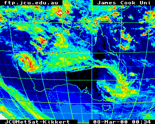
As you can see from this image, the cyclone crossed the WA coast at Onslow...but
it wouldna done much damage, just dropped a LOT of rain !
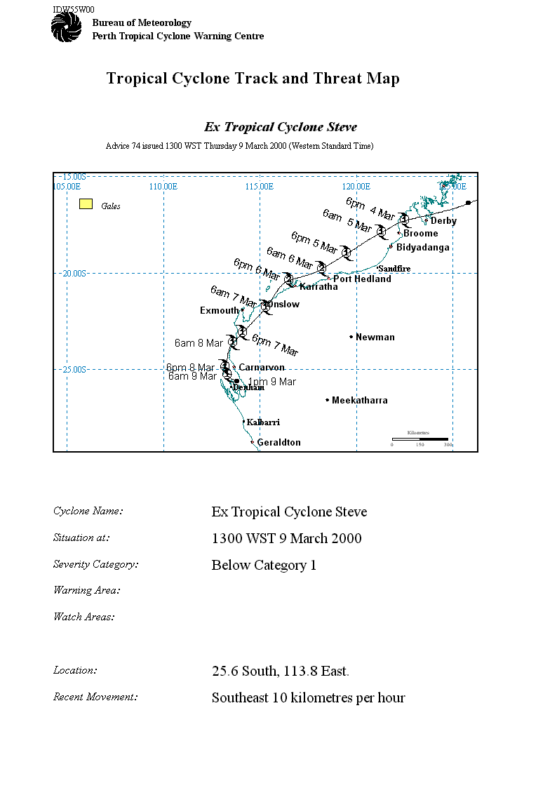
Cyclone track and threat map for TC Steve.
Comments
or suggestions?
My email is [email protected]