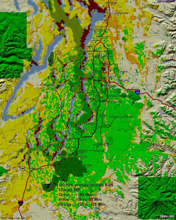
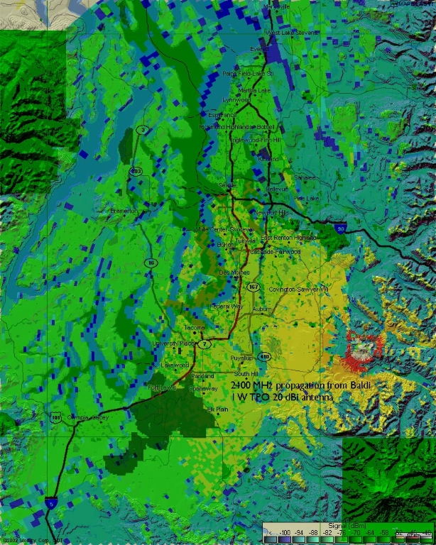
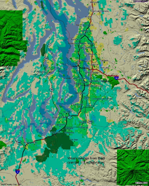
   150 Mhz 2.4 Ghz Visual Radio frequency coverage from Baldi Mountain is shown on these maps. |
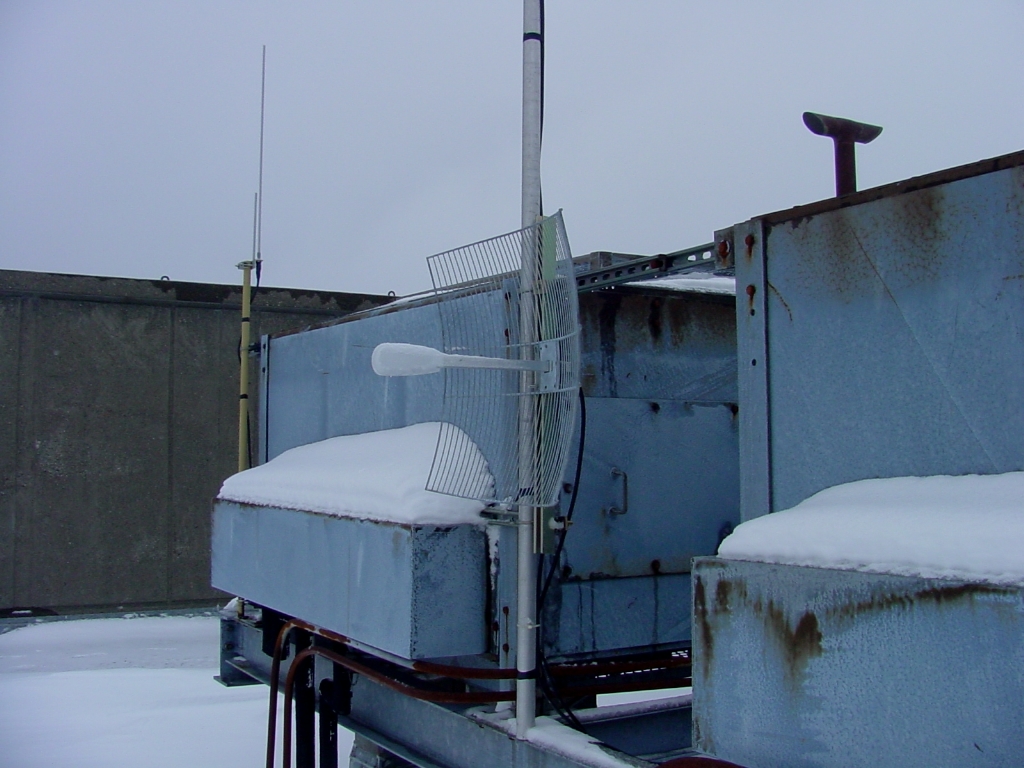
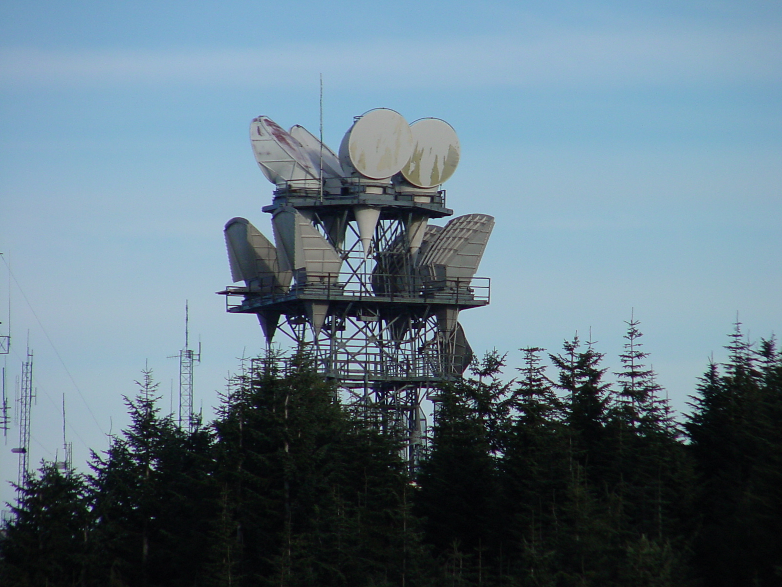
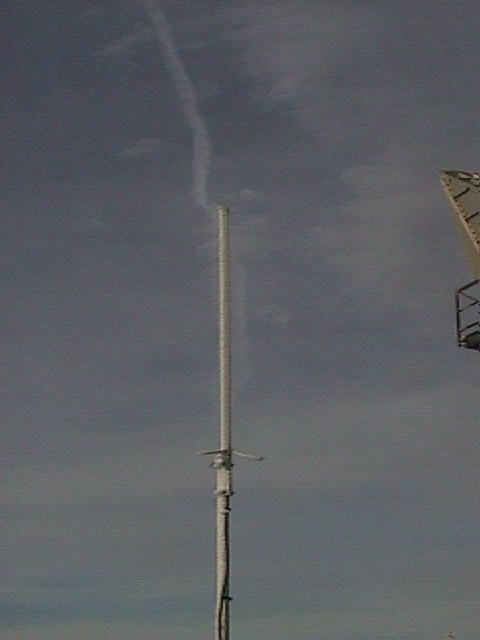 The SEA Packet Radio Node antenna operating on 145.010 Mhz. |
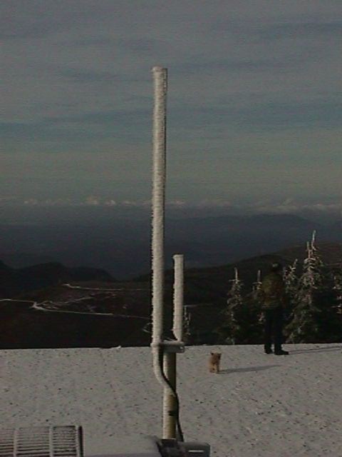 A 222 Mhz Packet backbone antenna for the SEABBS system. |
||
    Archived photos from when the building was first occoupied after AT&T |
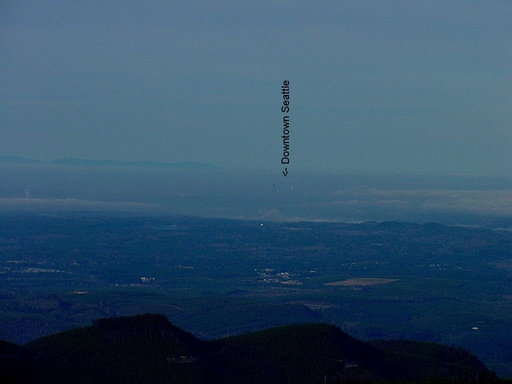 Visual looking back at Seattle 30 miles away |
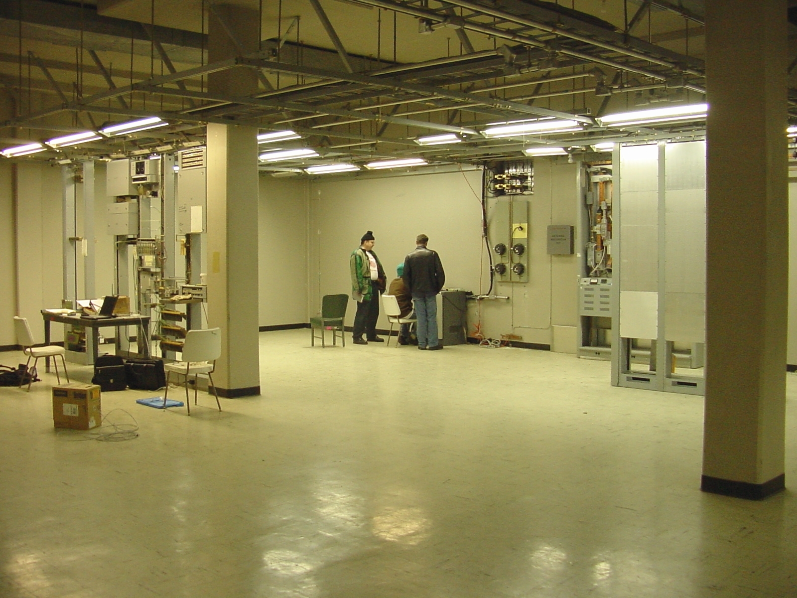
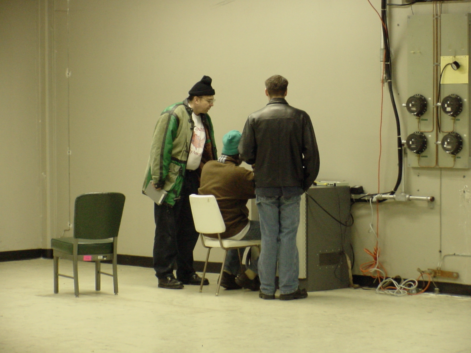
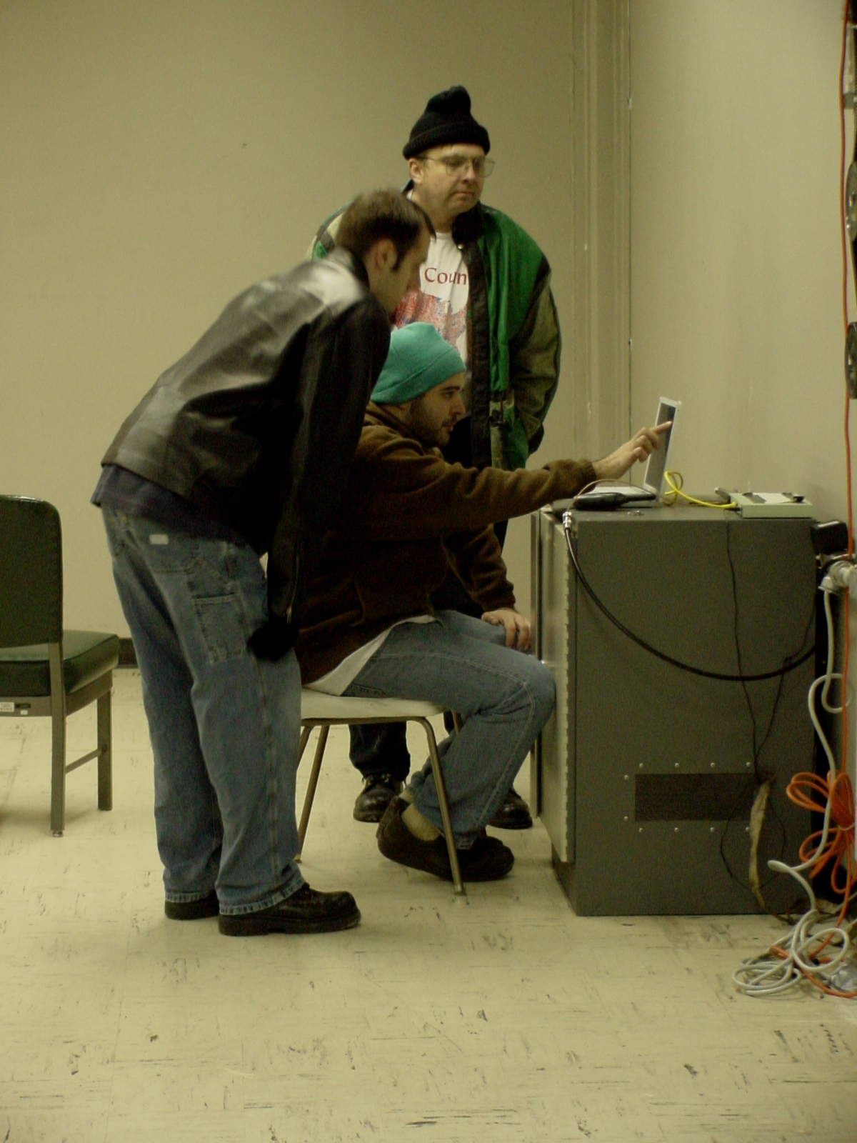
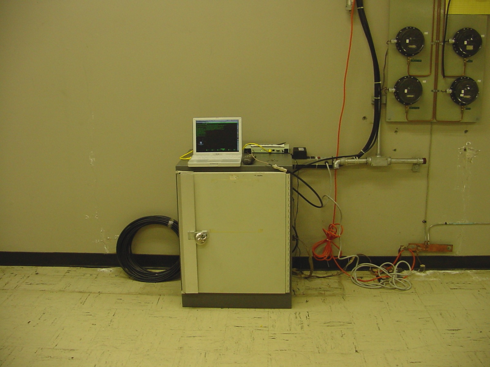
Looking inside the former AT&T building. |
||
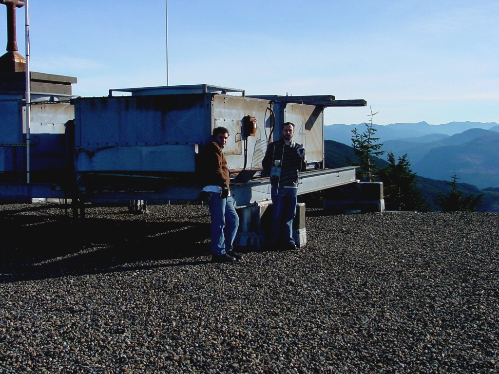 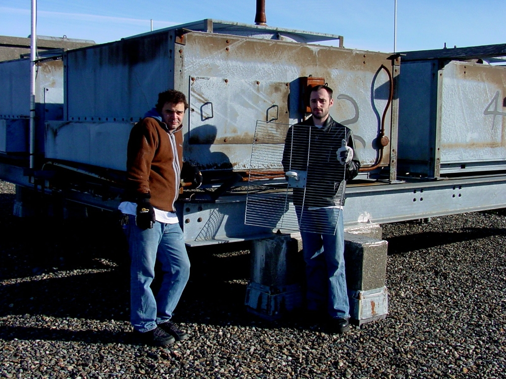  The SWN folks path testing, and their semi-permanent antenna installation with packet loss of < 1-2% back to Seattle 30 miles away! Just think; 100 mw and 30 miles on 802.11b ! |
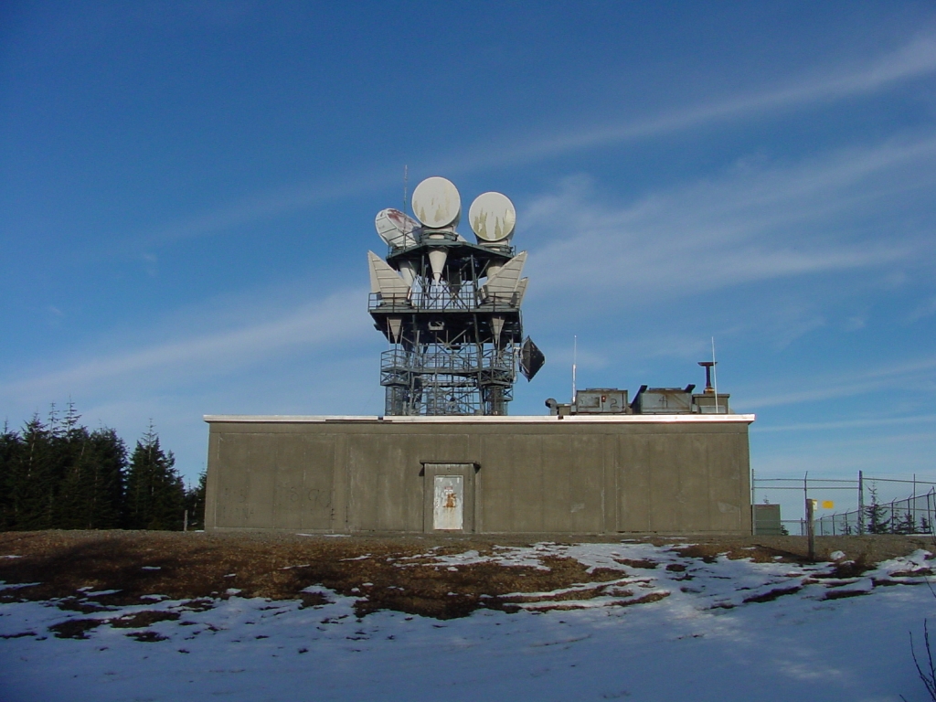 The south side of the building - its HUGE! |
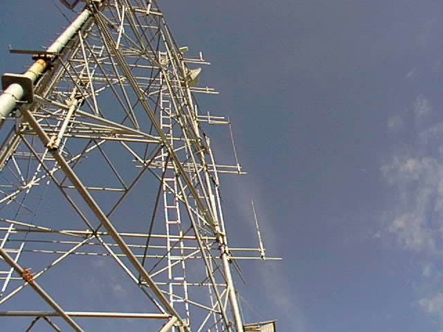
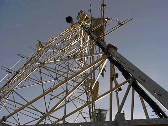
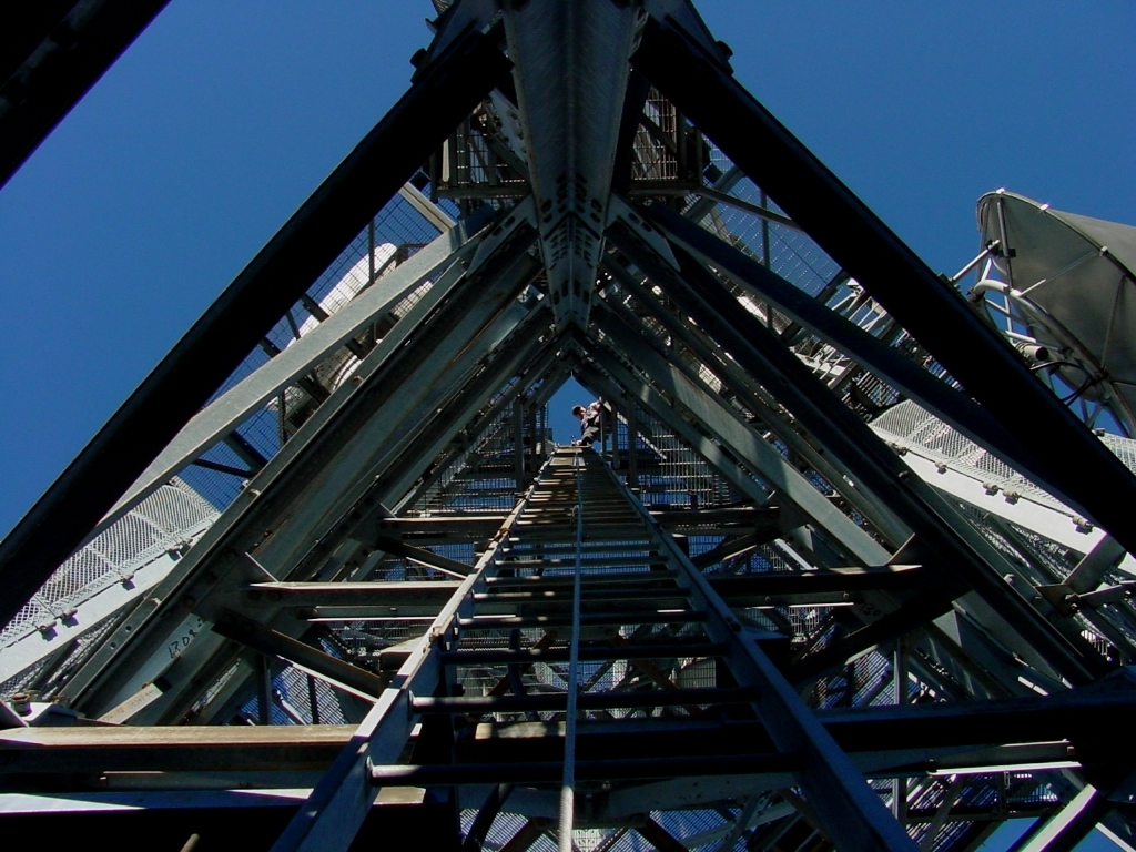 Looking down the inside of the tower |
||
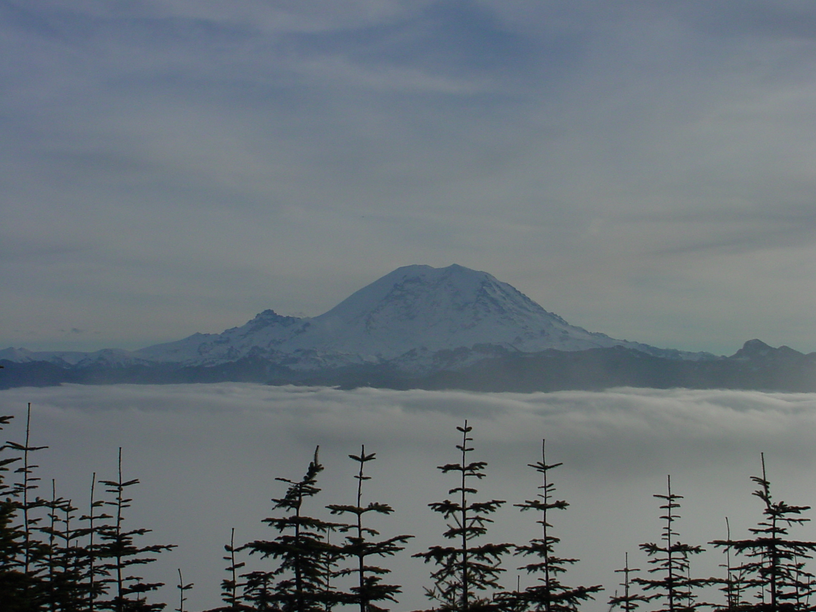 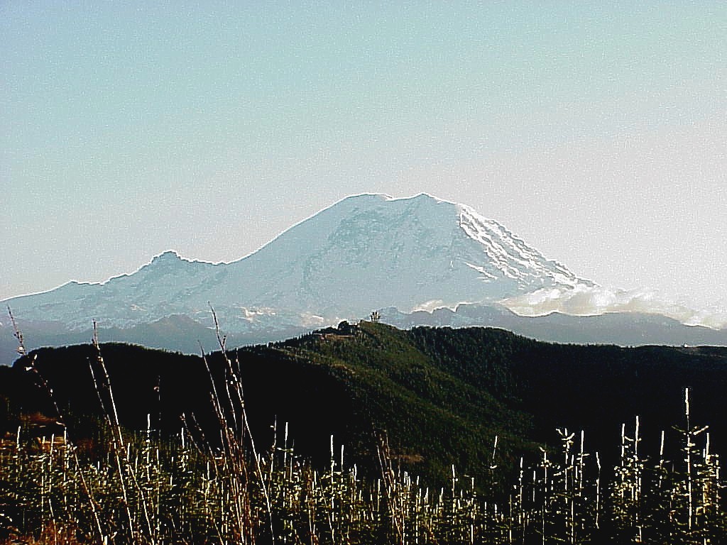  View of Mount Rainier - Baldi in the foreground - Baldi from a distance. |
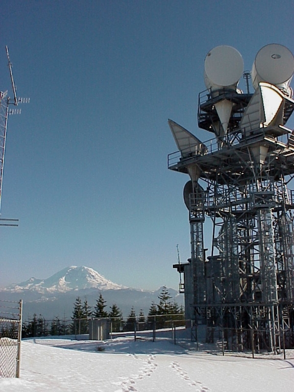 The tower with April snow. |
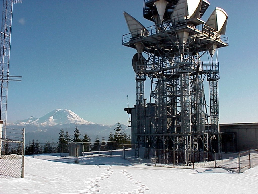 That's an 8 foot fence, 4 feet of snow left in April. |
||
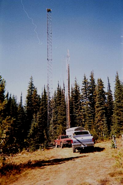
   The radio tower at Naneum Ridge between Ellensburg and Wenatchee, this is where the ELN Packet Radio Node is located that links to the SEA Node. |
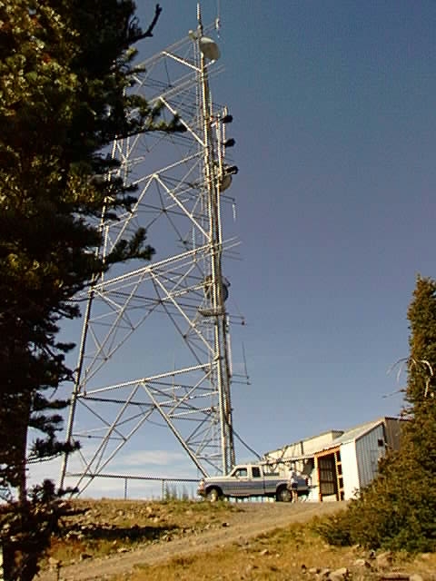
 The radio tower at Bethel Ridge. |
![]()
No portion of this website may be reproduced in any manner without
the express written consent of the owner.