VHF Aurora

Sporadic E, Europe

Sporadic E, N.America

| Solar X-rays: Geomagnetic Field: |
|
![]()
Grey Line Map
The grey line is a band around the Earth that separates the daylight from darkness. Radio propagation along the grey line is very efficient. One major reason for this is that the D layer, which absorbs HF signals, disappears rapidly on the sunset side of the grey line, and it has not yet built upon the sunrise side. Ham radio operators and shortwave listeners can optimize long distance communications to various areas of the world by monitoring this band as it moves around the globe. This map shows the current position of the grey line terminator.
Click here to show a Grey Line map
![]()
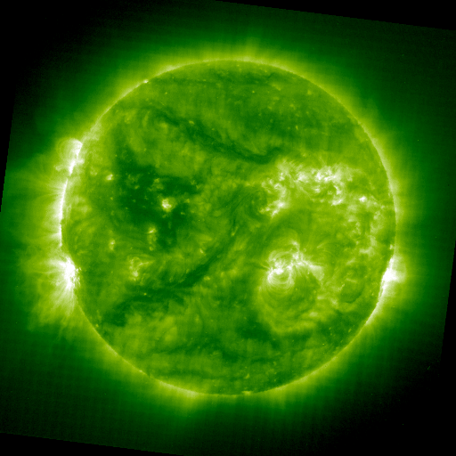
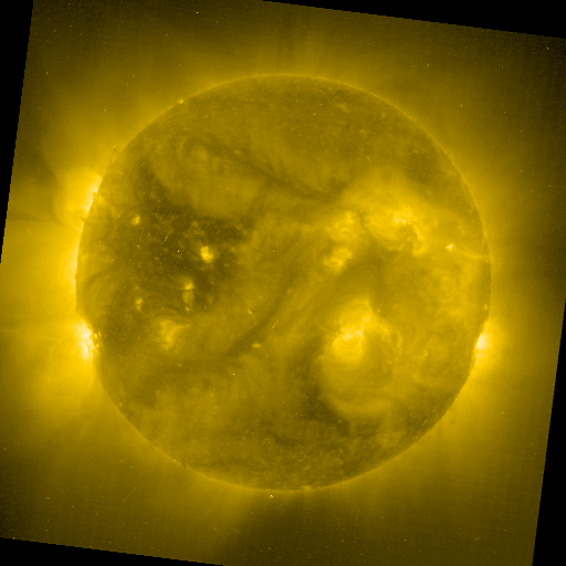
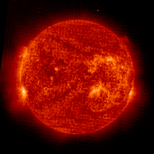
Current Solar Images
The images below are current views of the sun shown at different wavelengths of light as taken by SOHO and the Yohkoh soft-Xray telescope. Generally, more bright regions on the disk indicates more solar activity, which usually leads to higher solar flux levels (which also often leads to better ham radio and shortwave propagation!). Click on any thumbnail to view a larger image.
SOHO - 17.1nm
|
SOHO - 19.5nm
|
SOHO - 28.4nm
|
SOHO - 30.4nm
|
Sometimes you may see the text "CCD Bakeout" instead of the images. This occurs when NASA does routine maintenance and calibration on the cameras. For a more technical explanation, read NASA CCD Bakeout explanation.
Images courtesy of the SDAC at the NASA Goddard Space Flight Center
![]()
![]()