|
Bouvet
Island
3Y5X
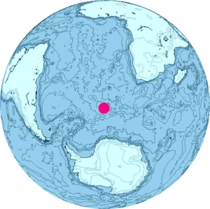
 Bouvet Island is located at 54°26S 3°24E / 54.433°S 3.4°E / -54.433; 3.4. It is 49 km2 (19 sq mi) in area, 93% of which is covered by glaciers, which block the south and east coasts.[4] A number of rocks and very small satellite islands lie offshore, including Lars Island to the southwest. Bouvet Island is located at 54°26S 3°24E / 54.433°S 3.4°E / -54.433; 3.4. It is 49 km2 (19 sq mi) in area, 93% of which is covered by glaciers, which block the south and east coasts.[4] A number of rocks and very small satellite islands lie offshore, including Lars Island to the southwest.
The nearest land is Queen Maud Land, Antarctica, which is over 1,750 kilometres (1,090 mi) away to the south, and which does not have a permanent population but is the site of a Norwegian all-year research station. To the northeast, it is about 2,500 kilometres (1,600 mi) to Cape Town.
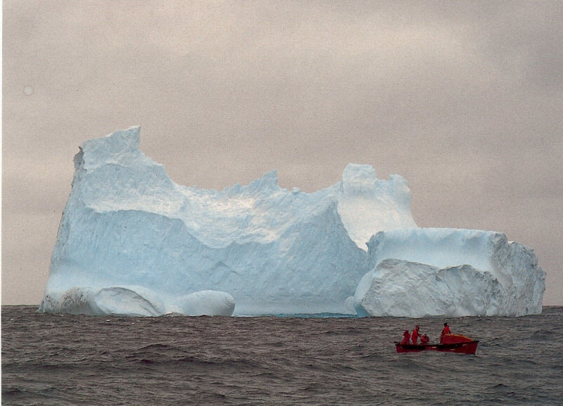
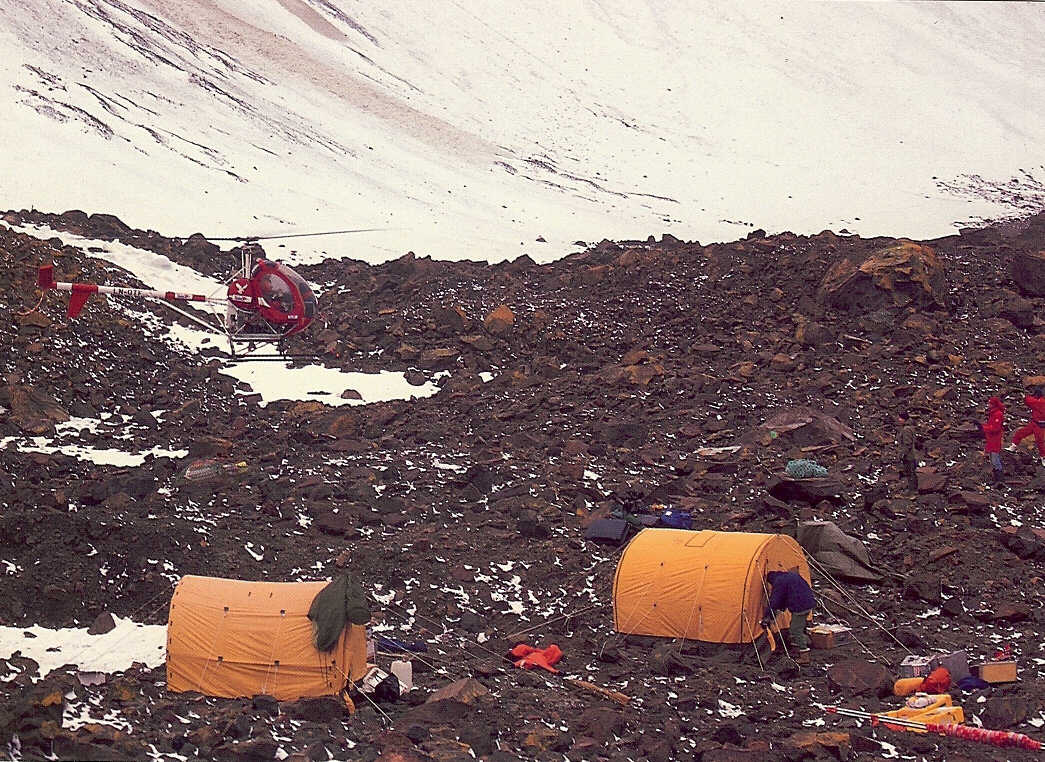
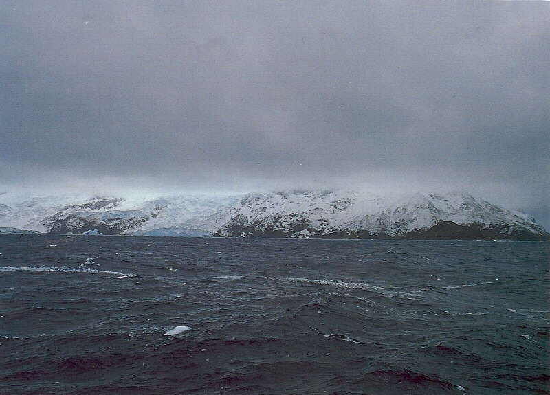
Bouvet Island has no ports or harbours, only offshore anchorages, and is therefore difficult to approach. Wave action has created a very steep coast. The easiest way to access the island is with a helicopter from a ship. The glaciers form a thick ice layer falling in high cliffs into the sea or onto the black beaches of volcanic sand. The 29.6 km (18.4 miles) of coastline are often surrounded by pack ice. The highest point on the island is called Olavtoppen, and has a peak 780 m (2,559 ft) above sea level. A lava shelf on the island's west coast formed between 1955 and 1958 and provides a nesting site for birds.
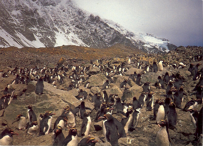
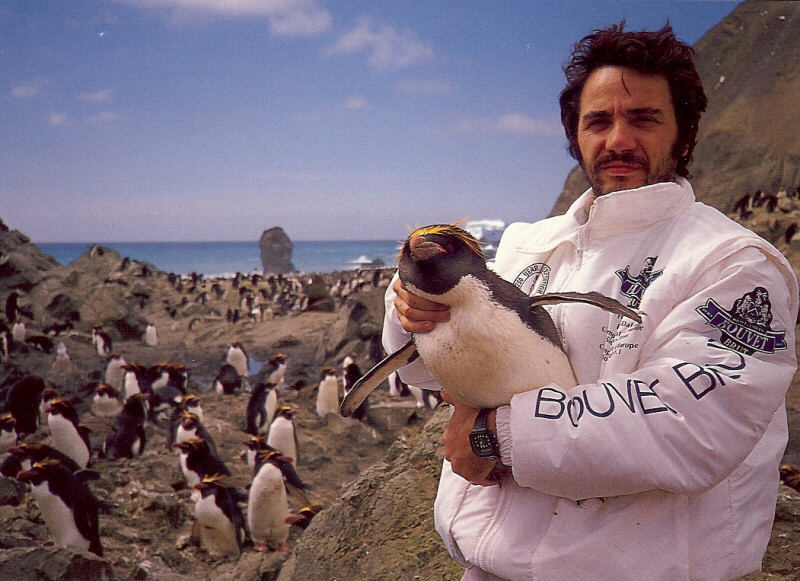
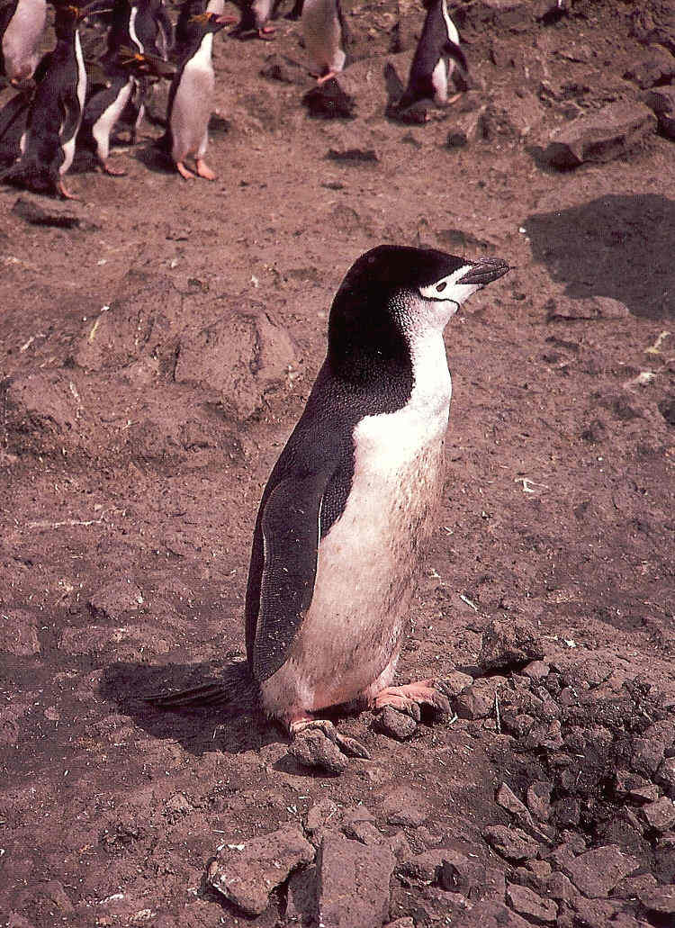
 Because of the harsh climate and ice-bound terrain, vegetation is limited to lichens and mosses. Seals, seabirds and penguins are the only vertebrate fauna. As such the island is part of the Scotia Sea Islands tundra ecoregion, along with South Georgia and the South Sandwich Islands, the South Shetland Islands and the South Orkney Islands. Because of the harsh climate and ice-bound terrain, vegetation is limited to lichens and mosses. Seals, seabirds and penguins are the only vertebrate fauna. As such the island is part of the Scotia Sea Islands tundra ecoregion, along with South Georgia and the South Sandwich Islands, the South Shetland Islands and the South Orkney Islands.
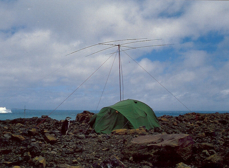
Despite being uninhabited, Bouvet Island has the unused Internet country code top-level domain (ccTLD) .bv. It also has an amateur radio prefix, 3Y, and a few amateur radio expeditions have travelled to the island to use it. There is no telephone country code or area code, no telephone connection (except through satellite) and no postal code nor postal distribution. Bouvet Island is according to Norwegian law in the UTC+01 time zone.
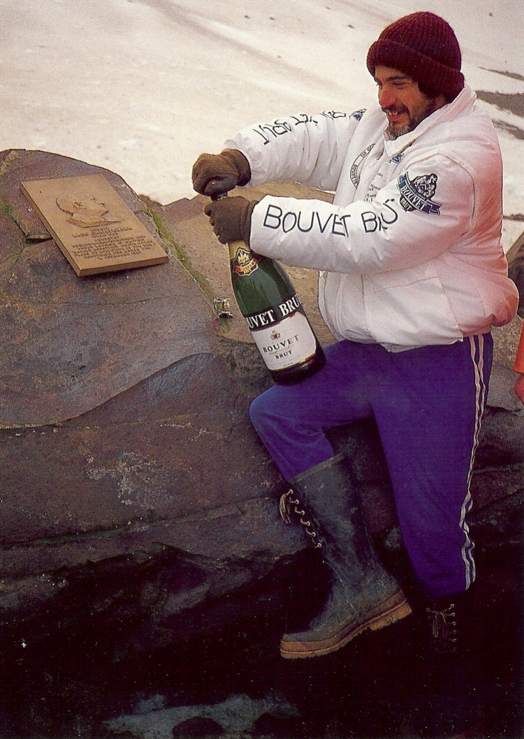
The first extended stay on the island was in 1927, when the Norwegian crew of the ship Norvegia stayed for about a month. The island was claimed for Norway by expedition leader Lars Christensen on 1 December 1927 By a Royal Norwegian Decree of January 23, 1928, Bouvet Island (Bouvetřya in Norwegian) became a Norwegian Territory. The United Kingdom waived its claim in favour of Norway the following year. In 1930 a Norwegian act was passed that made the island a dependent area subject to the sovereignty of the Kingdom (but not a part of the Kingdom).
In 1964, an abandoned lifeboat was discovered on the island although its origin has never been determined.
In 1971, Bouvet Island and the adjacent territorial waters were designated a nature reserve. During the 1950s and 1960s, there was some interest from South Africa to establish a weather station, but conditions were deemed to be too hostile. An automated weather station was, however, set up in 1977 by the Norwegians.
On September 22, 1979, a satellite recorded a flash of light (which was later interpreted as having been caused by a nuclear bomb explosion or natural event such as a meteor) in a stretch of the southern Atlantic Ocean between Bouvet Island and Prince Edward Islands. This flash, since dubbed the Vela Incident, is still not completely resolved.
In 1994, the Norwegians constructed a field station – a container building of 36 square metres (388 square feet). On October 19, 2007, the Norwegian Polar Institute announced that the station was no longer visible on satellite photographs. Later investigations indicated that a landslide or ice avalanche swept the building off its foundations. A replacement station is being planned (2009). An unmanned weather station on the island is reportedly still intact.
Bouvet is the setting of the 2004 movie Alien vs. Predator, in which it is referred to using its Norwegian name "Bouvetřya" even though in the unrated edition of the film, a satellite focuses in on the island which is geographically situated in the approximate location of Peter I Island.
|