|
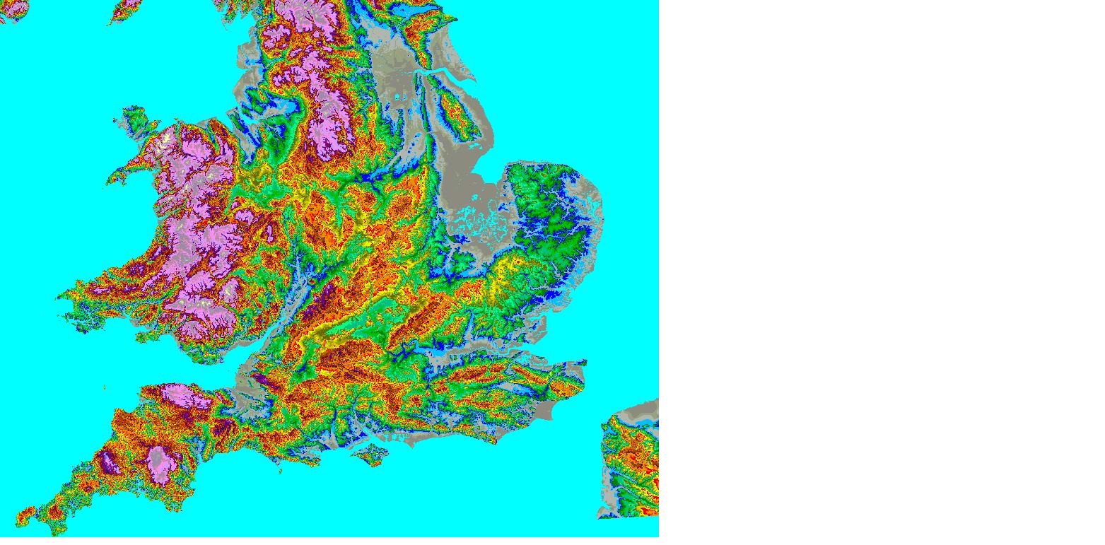
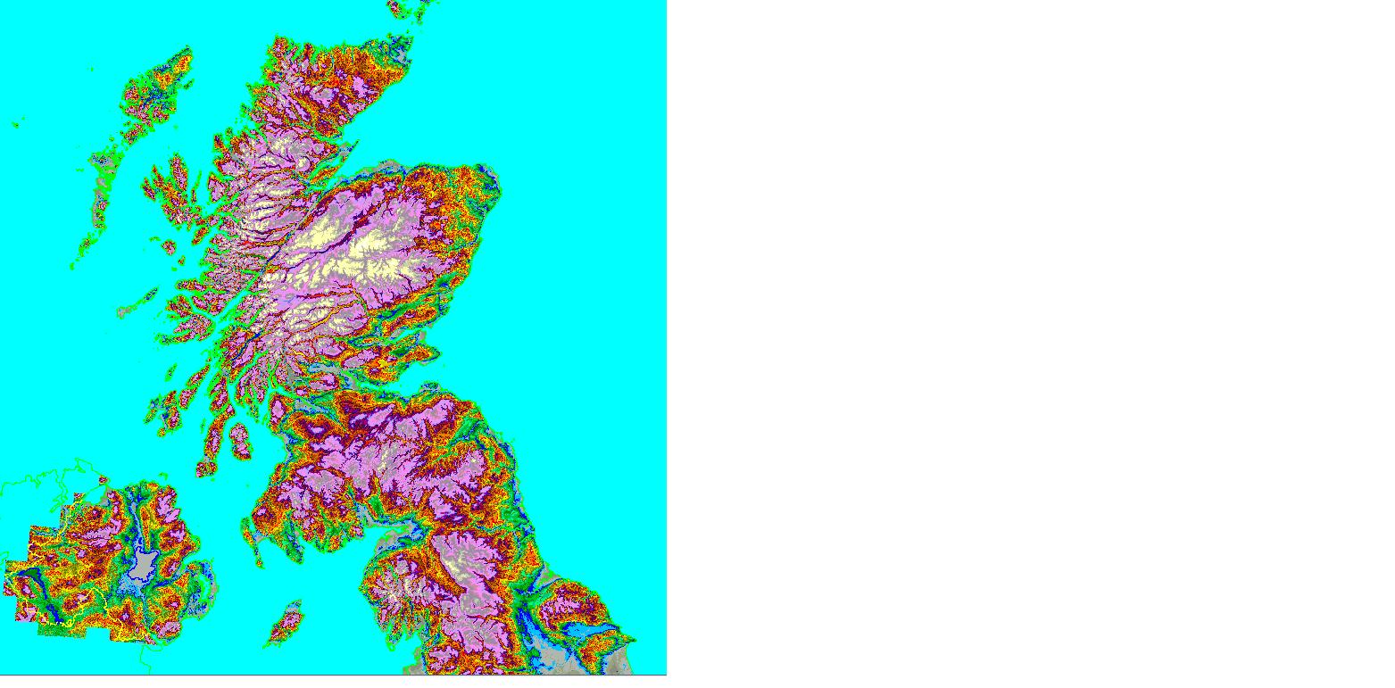
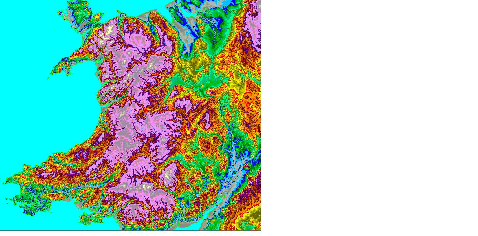
Terrain maps coloured by height. |
�������������������������������������������������
������������������������������������������������������������������������������������������������������������ |
|||||
|
These show areas of high ground quite clearly - easy to identify the sites with good take off. There's no overlay of roads or names, but the well known hills and valleys can be picked out. I have bitmaps of these if anyone requires. |
|
|||||
|
|
||||||
|
|
||||||
|
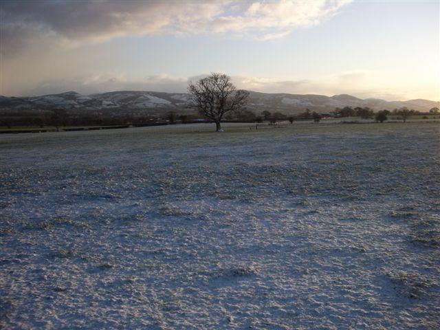
The view to the South East from home. Pretty, but no good for DX. |
|
|||||
|
|
||||||
|
|
|
|||||