| Remarks
|
| CAUTION |
Hi tension cables 118' AGL 2
NM fr thld Rwy 34. Bldg 525' AMSL 2.7 NM on extn cntrln Rwy 34.
Bird haz.
|
| FUEL |
A1 (Qatar Jet Fuel Co fone
C974-462-2477)
|
| RSTD |
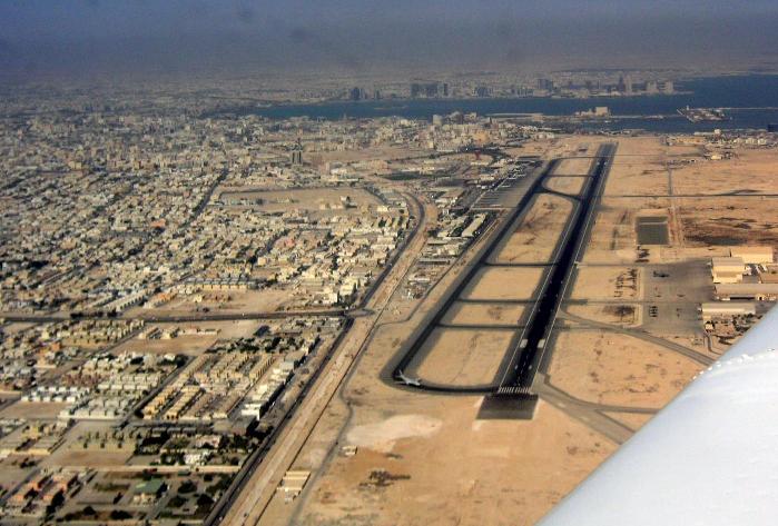
Rpt LDA Rwy 34 12,375'. Tkof
pt for Rwy 16 is fr int Twy A. All inbd acft will ctc Kingfish
Nov on 272.55 (civ acft use 139.5) 30 min prior to ldg for
current cond and prk info. All acft are rqr to call Kingfish Nov
with arr time and taxi status and maint listening watch til eng
shutdown. All outbd acft will call Kingfish Nov with dep time
and maint listening watch on 272.55 for 30 min aft dep. Current
painted lines are not to be followed. Changing taxi pat/prk
spots-do not proceed onto ramp wo flw-me veh. Pilots use min pwr
on congested ramp. Pilots should exercise ctn; paying close
attention to flw-me veh and pr instr.
|
| TRAN ALERT |
USMIL ramp has no hot cargo
handling capability.
|