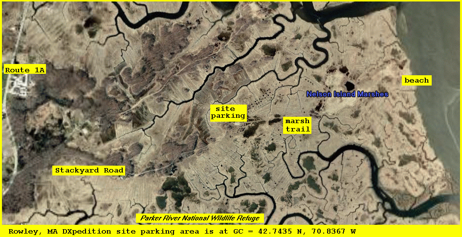
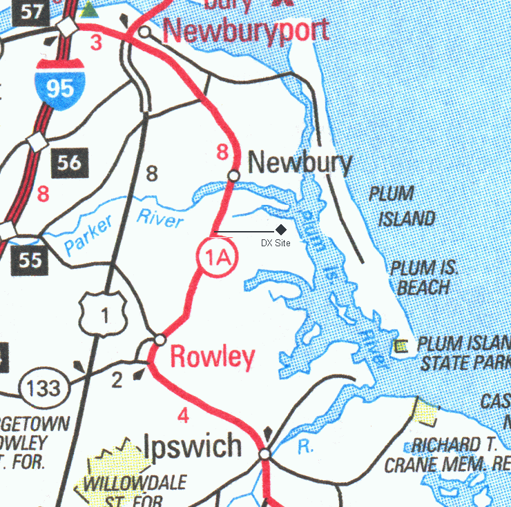
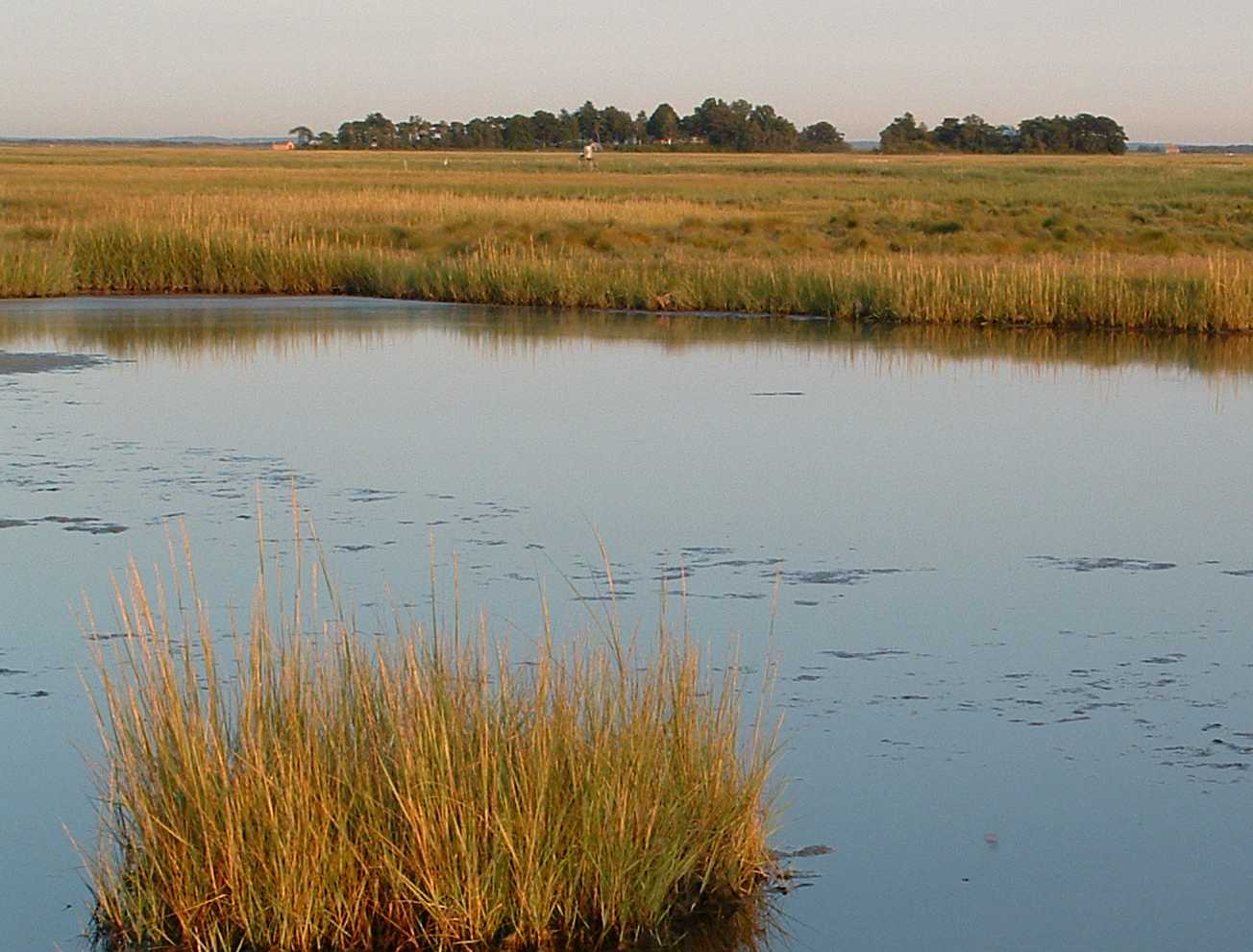
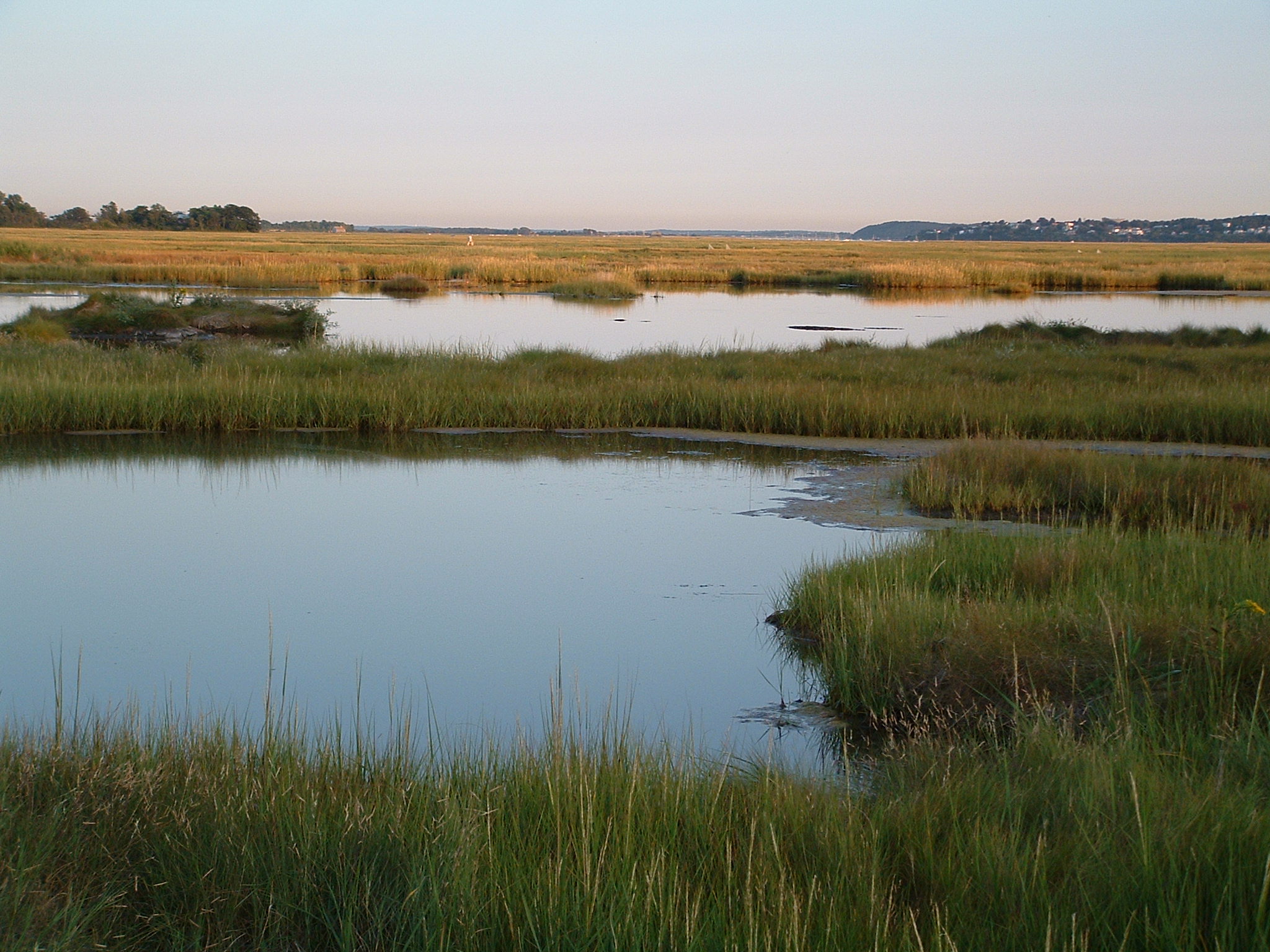
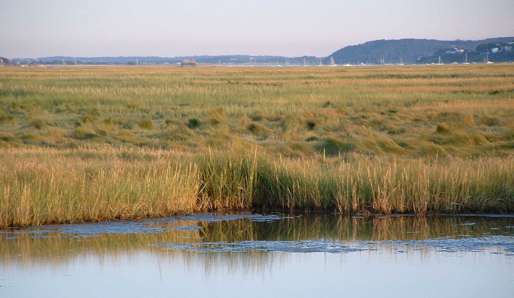
This salt-marsh location near Plum Island is within the Parker River National Wildlife Refuge at the eastern end of Stackyard Road, off of Route 1A. A dirt path about 1 km long leads eastward from the parking area to Nelson Island, a small piece of land slightly higher than most of the marsh. Sometimes, during high tide, parts of the pathway are submerged.
Several Beverage DXpeditions have been held here. The site has also been used for tests of phased arrays comprised of two or more small active antennas spaced about 60 m apart. Medium wave signals from Europe and Africa are often heard around local sunset and this is one of the few North American sites where India-1566 has been received.
Click on thumbnail for larger version of an image
Photographs by Mark Connelly using Fuji digital camera
map of general area |
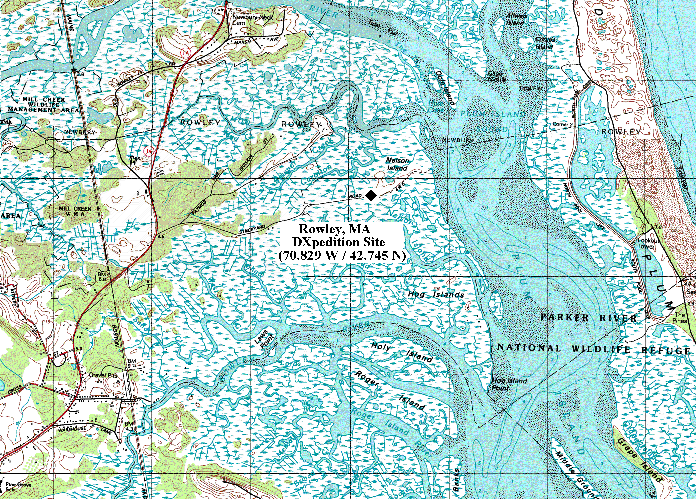
Rowley site topo map |

east view |
southeast view |
south view |
south view (zoomed) |