 |
Smoky Mountains Amateur Radio Team Cherohala Skyway Special Event October 6, 2001 |
|
Smoky Mountains Amateur Radio Team Cherohala Skyway Special Event October 6, 2001 |
Robbinsville, NC: Smoky Mountains Amateur Radio Team, N4GSM, 1400Z to 2000Z on Oct 6, 2001, for the anniversary of the opening of the Cherohala Skyway. 7.242MHz and 14.242MHz. QSO card or certificate. SASE to S.M.A.R.T., P.O. Box 517, Robbinsville, NC 28771.
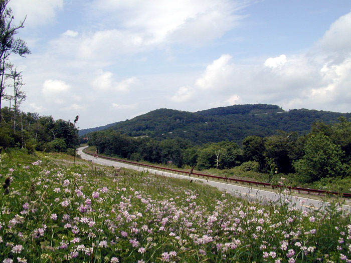
The Cherohala Skyway
Cher-o-ha-la is a contraction of the names Cherokee National Forest in Tennessee and the Nantahala National Forest in North Carolina.
Gary, KD4TPO, and his recorder N.T. on 20 Meter Band.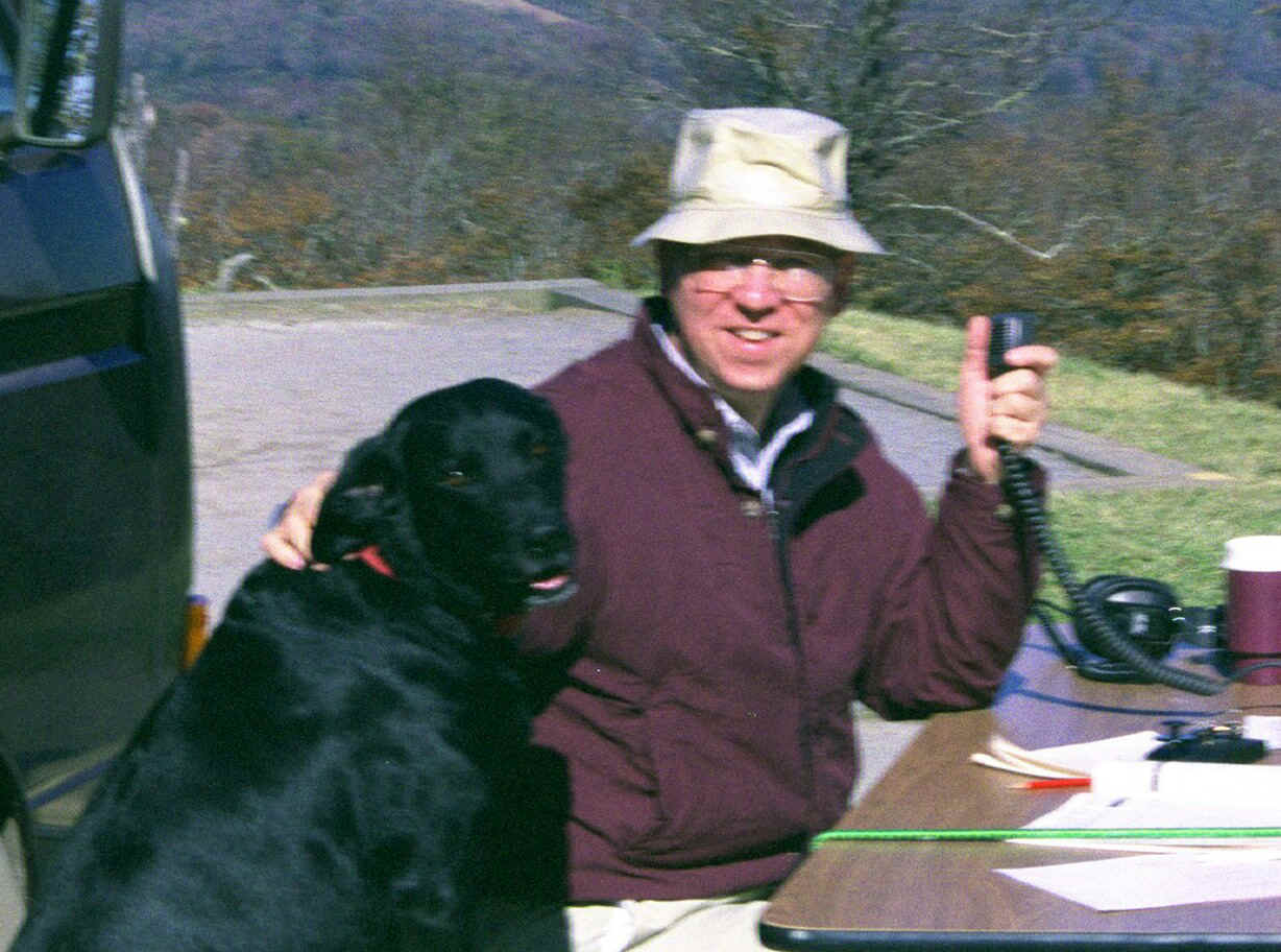
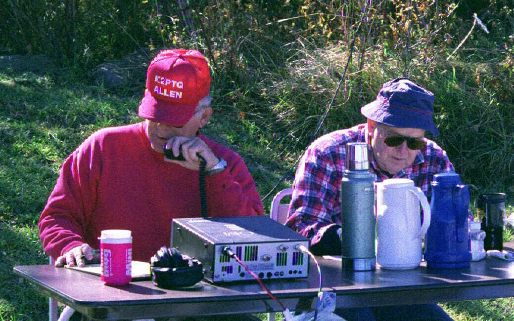
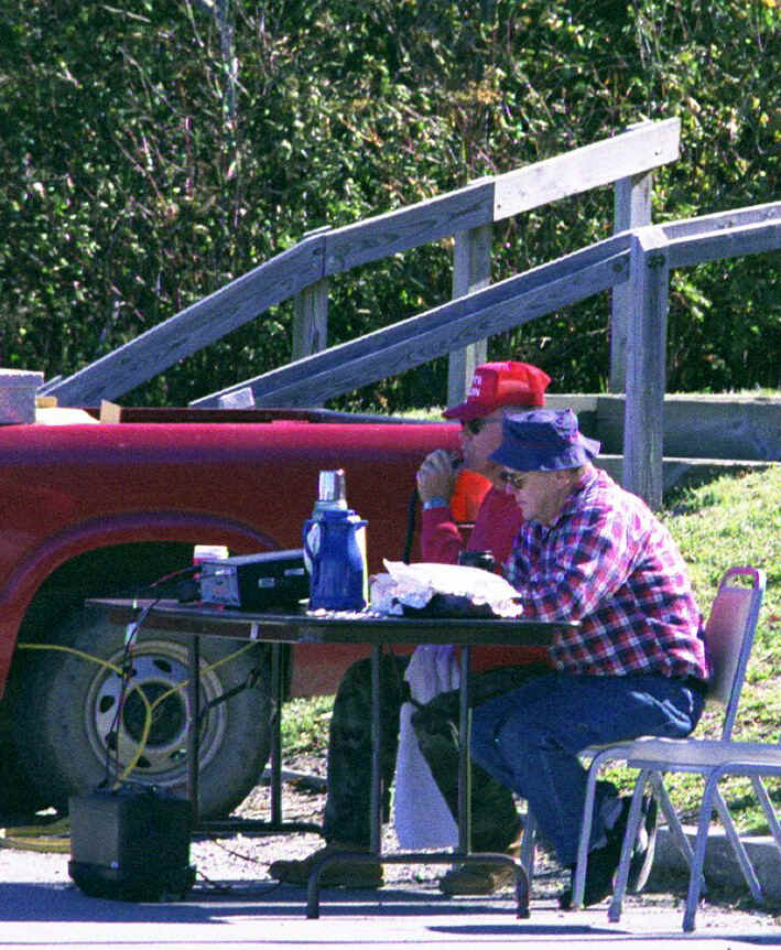
Allen, K2PTQ, and his recorder Dick, KU4HA, at the 40 Meter
Station.
The Cherohala Skyway Special Event in October
This Special Event was sponsored by the Smoky Mountains Amateur radio Team to commemorate the opening of the Cherohala Skyway on October 10, 1996. The Skyway is a scenic 50 mile mountain drive through the Nantahala and Cherokee National Forests. The road connects Robbinsville, North Carolina with the Tellico Plains, Tennessee. The Skyway was 38 years from concept to completion and originally traveled by wagon train. The actual transmission site is from Hooper Bald rest stop at an elevation of 5,300 feet.
For those contacts wishing a QSO card or certificate, please send a SASE of appropriate size to:
S.M.A.R.T.
P.O. Box 517
Robbinsville, NC 28771-0983
![]()