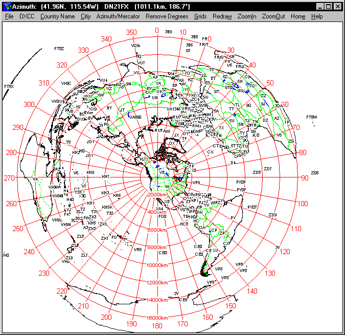
The AZIMUTH program plots a world map in either azimuth (beam heading) or Mercator projections.
If you specify your home location in latitude and longitude, the azimuth projection is centred
on your location.
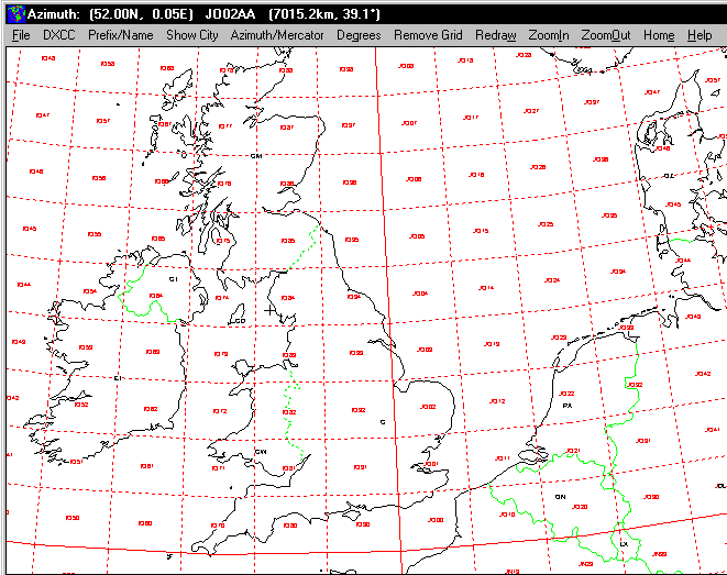
The Azimuth map program can display Maidenhead grids - this is useful for 6m, 2m, and UHF DX
communication display.
Various features of the map are:
Azimuth or Mercator projections
Maidenhead grid display
Display DXCC prefix or country names
Simple map zooming
Selectable colour scheme for drawing
Locate DXCC countries by name or prefix
Print maps with adequate resolution up to one meter sized map