|
|


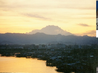


Aerial view of the city of Kota Kinabalu, the state capital |
Mount Kinabalu seen behind the city at sunset |

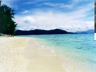
White sandy beaches and tropical islands can be found off the coast of the state |
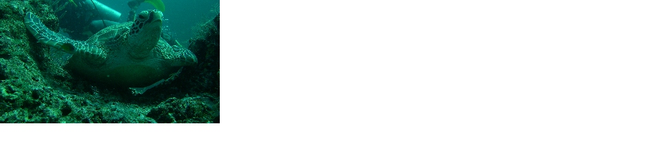
Sabah is the site of some of the top dive spots in the world |
Sabah has a rich biodiversity of flora and fauna with many species endemic to the state |
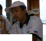
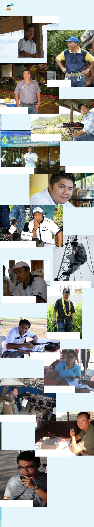
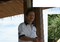
9M6JC - John |
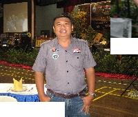
9M6BOB - Bob |

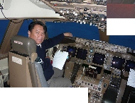
9W6RAN - Randy |


9W6AJJ - Alan |
9W6OMM - Mazlan |
9W6KOM - Khumaini |
9W6MAN - Azman |
The North Borneo World DXers |
About Us |
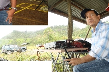
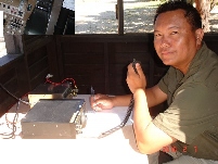
Located in the state of Sabah on the northern section of the island of Borneo, East Malaysia, the North Borneo World DXers are a non-club affiliated group that organises DXpeditions around the state as well as to nearby islands. We support each and all activities of the various amateur radio clubs in the state |
NBWDX Members |
9M6TMT - Tom |
A Brief History of NBWDX |
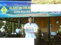
North Borneo World DXers was first formed in 2009 as the brainchild of 9M6JC, 9M6AH, 9M6TMT, 9M6BOB, 9W6RAN, 9W6AJJ and 9W6OMM. The idea came about as these seven friends were having a drink and comiserating on the lack of dx-ing activities in the state. One week and a couple of coffees later, NBWDX was formed and the first DXpedition planned for early May. |
9W6KSR - Kausar |
9W6CED - Eddy |
9W6CMS- Claire |
9W6CEM - Edmond |
9W6TIN - Agustine |
Sabah, Land Below the Wind |
Sabah is a Malaysian state located on the northern portion of the island of Borneo, between the latitudes of 4 and 7 degrees north. It is the second largest state in Malaysia after Sarawak, which it borders on its south-west. It also shares a border with the province of East Kalimantan of Indonesia in the south. The capital of Sabah is Kota Kinabalu, formerly known as Jesselton. Sabah is known as "Sabah, Negeri Di Bawah Bayu", which means "Sabah, the Land Below the Wind", because of its location just south of the typhoon-prone region around the Philippines. The western part of Sabah is generally mountainous, containing the three highest mountains in Malaysia. The most prominent range is the Crocker Range which houses several mountains of varying height from about 1,000 metres to 4,000 metres. At the height of 4,095 metres, Mount Kinabalu is the highest mountain in South East Asia . The jungles of Sabah are classified as rainforests and host a diverse array of plant and animal species. Kinabalu National Park was inscribed as a World Heritage Site in 2000 because of its richness in plant diversity combined with its unique geological, topographical, and climatic conditions. The central and eastern portion of Sabah are generally lower mountain ranges and plains with occasional hills. Kinabatangan River begins from the western ranges and snakes its way through the central region towards the east coast out into the Sulu Sea. It is the second longest river in Malaysia after Rejang River at a length of 560 kilometres. The forests surrounding the river valley also contains an array of wildlife habitats, and is the largest forest-covered floodplain in Malaysia. Beyond the coasts of Sabah lie a number of islands and coral reefs, including the largest island in Malaysia, Pulau Banggi and Pulau Sipadan, rated as one of the top 10 wall dive spots in the world. Tourism, particularly eco-tourism, is a major contributor to the economy of Sabah. Sabah currently has six national parks. One of these, the Kinabalu National Park, was designated as a World Heritage Site in 2000 and is the location of Mount Kinabalu. It is the first of two sites in Malaysia to obtain this status. |
The rest, as it is said, is history... |
9W6VYN - Mervyn |