Powered by
WXtoImg

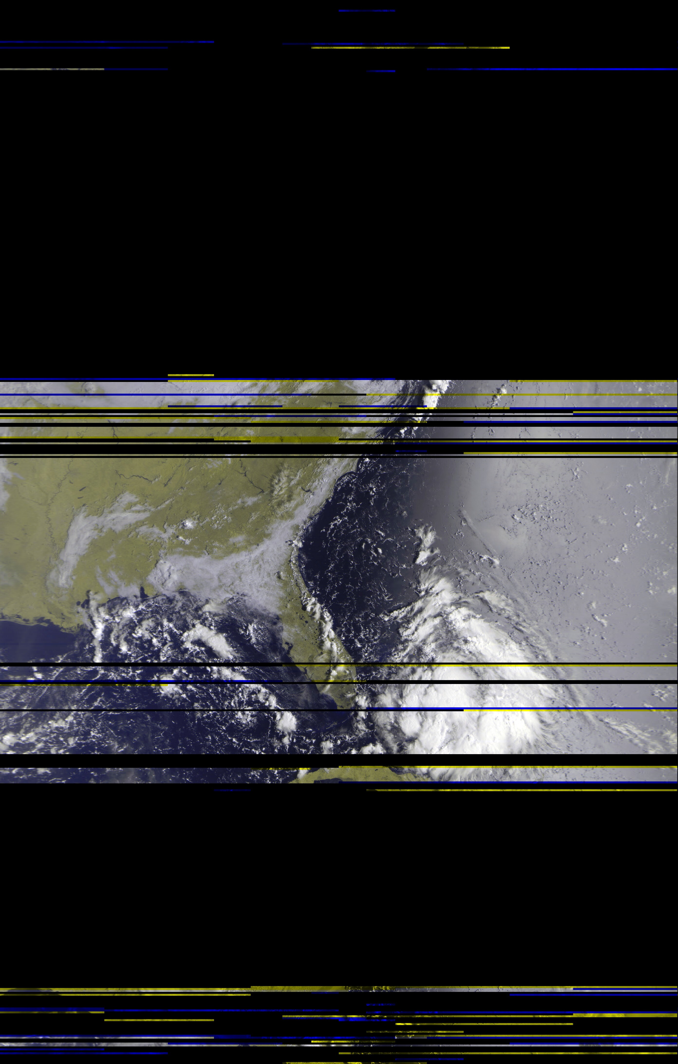
Weather satellite images recorded at .

Latitude: , Longitude:

Software: WXtoImg version 2.11.2 beta

Receiver: unknown

Antenna: unknown

Click on any image below for a full sized image. Times are shown in UTC.

Pristine
 Pristine

Pristine
 Pristine

Pristine
 Pristine

Pristine
 Pristine

Pristine
 Pristine

Pristine
 Pristine

Next Scheduled Satellite Passes over

Satellite
Name
Start of Pass Time Available Direction Maximum Elevation
Degrees (East or West)
Frequency
MHz
UTC Local Time* UTC Local Time*
NOAA 19 11 Sep 22:43 11 Sep 18:43 11 Sep 23:02 11 Sep 19:02 137.10
NOAA 19 12 Sep 00:25 11 Sep 20:25 12 Sep 00:49 11 Sep 20:49 137.10
NOAA 15 12 Sep 00:30 11 Sep 20:30 12 Sep 00:54 11 Sep 20:54 137.62
NOAA 18 12 Sep 01:53 11 Sep 21:53 12 Sep 02:11 11 Sep 22:11 137.9125
NOAA 18 12 Sep 03:34 11 Sep 23:34 12 Sep 03:51 11 Sep 23:51 137.9125
NOAA 19 12 Sep 11:11 12 Sep 07:11 12 Sep 11:30 12 Sep 07:30 137.10
NOAA 15 12 Sep 12:52 12 Sep 08:52 12 Sep 13:10 12 Sep 09:10 137.62
NOAA 19 12 Sep 12:53 12 Sep 08:53 12 Sep 13:15 12 Sep 09:15 137.10

* local time is EDT.