My GPS Page
Here is a picture of my Magellan GPS 315 :
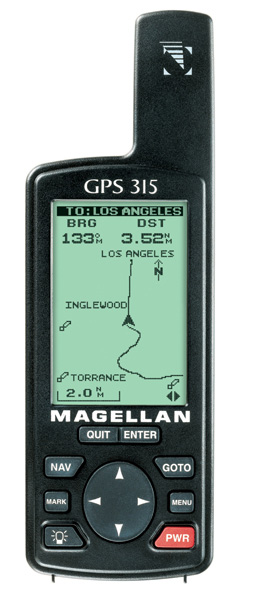
I really like it!
I use it for camping, day-to-day activities, and logging coords just
for
fun.
I use it with several different pieces of Software.
For Logging I use :
- HyperTerminal - to log data via my laptop
- I am able to extract the data I need via MicroSoft Excel
- TRAX - to log data via my Palm V
- I then tranfer from my Palm to my computer.
- The main benifit is the much smaller package when comparing my
Palm
to my Laptop
- Delorme Topo!
For Real Time Navigation I use :
- Microsoft Streets and Trips - due to licensing, there are 15
seconds
between the location updates
- Delorme Street Atlas - location updated abut once evey 2 seconds
To plot the coordinates on a map, I use :
- Streets and Trips
- Delorme Topo!
And to plot the 315's TrackLog, I use :
- Delorme Topo!
- Topo! will connect the dots in chronological order.
- For an example you can see the map of the trip my
wife
and I took for our 7th annivessary
The only thing I would change is to increase the number of points
available my track log to about 10,000 or so.
Right now there is only 1250 points.
LINKS
For GPS links please visit
my LINK page.
Click here to back to my home
page.