My visits have been made either in late June or the beginning of September.
Both times have their advantages. In June, many alpine flowers are in bloom and there is plenty of snow above 2100 metres, so an ice axe is an obligatory accessory.
I've found the weather at this time to be rather unsettled, with many rainy and cold days.
The locals recommended late August and September.
This was good advice as I've enjoyed a succession of warm sunny days at that time.
Also, the higher mountain huts are open and accessible as the snows have long gone.
I made travel arrangements for another visit in 2016, but had to cancel them due to ill health.
After a heart valve replacement in March 2017, I returned to the Montafon in July 2017 for my seventh visit. This time, I stayed at the excellent Haus Marent in Schruns instead of camping.
It was certainly nice to be back in the Montafon after a 5 year gap since the previous visit.
This was probably my final trip because I had by now walked most of the trails that I was able to manage. At 70 years old I noticed I wasn't as fit and strong anymore despite the heart surgery giving me a new lease of life.
There are many excellent and varied walks in the area and by using the Montafon-Silvretta card, one can sample the delights of the different valleys.
I normally make day hikes from my campsite, but have occasionally stayed overnight in some of the mountain huts, which is a great experience.
Usually, my walks are planned so that I can take lunch at one of the mountain huts or preferably an "Alpe" which is a small alpine dairy.
Many Alpen in Montafon produce "Sura Kees", a local speciality cheese and is delicious when accompanied by fresh milk from the dairy.
The Alpen close down for the Winter around the second week in September, when the cows are moved down from the high pastures.
To plan walks, I would recommend the following publications:
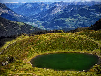
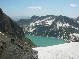
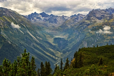
Toblersee and Montafoner Tal
|
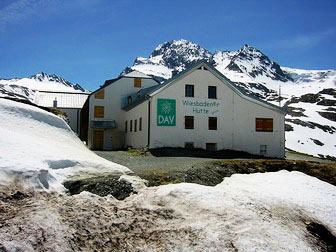
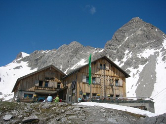
Wiesbadener Hütte
|

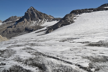
In front of the Ochsentaler Glacier
|
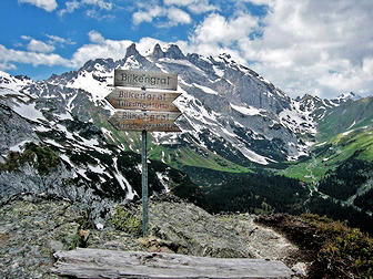
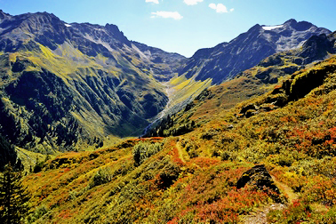
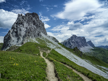
View to Drei Türme from the fearsome Bilkengrat
|
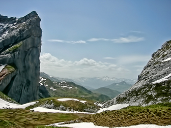
View to Switzerland through Schweitzertor
|

View to Zimba from the Lünerkrinne
|
Executive meeting in Zaluandatal - Zimba behind
|
Old Customs House & Ofapass - Rätikon Höhenweg
|
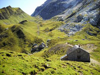
Totalp Hütte
|

Enjoying a Fohrenburger beer at the Lindauer Hütte
|
The Alvierbach in Brandnertal
|

View of the Drei Türme from Latschätzer Hohenweg
|
Descent to Lünersee from Totalp Hütte
|
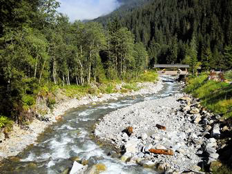
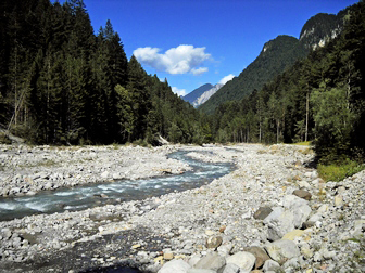
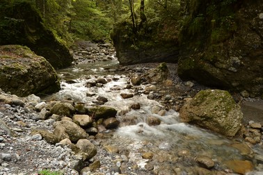
River Litz in Silbertal
|
View towards Rätikon with cloud cover over Silbertal
|

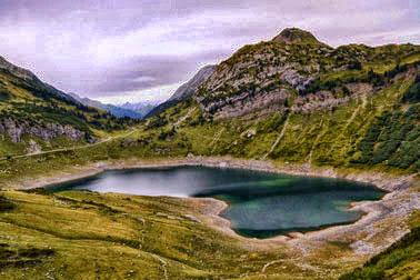
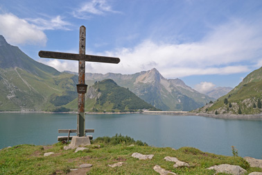
Lünersee, Douglashütte and Seekopf
|
View down the Ochsental towards Silvretta-Stausee
|

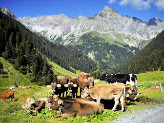
Grazing the sweet grass in front of Zimba
|

Kochscher Enzian (Gentiana acaulis)
|
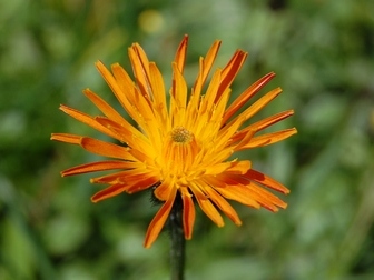
Gold-Pippau (Crepis Aurea) in June
|
Formarinsee in Klostertal
|

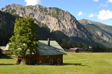
Silbertal, a very pretty village
|
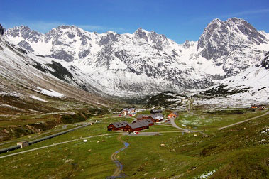
Vermunt, HochMaderer and Madlener House from Bielerhöhe
|

Wiegensee above Partenen
|
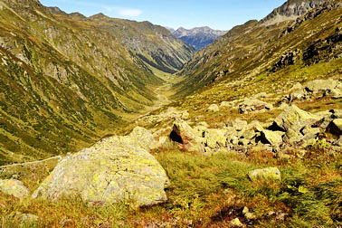
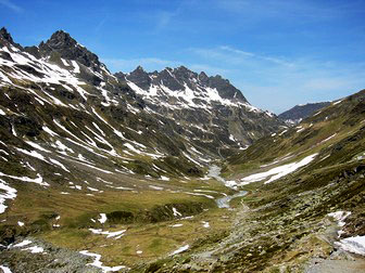
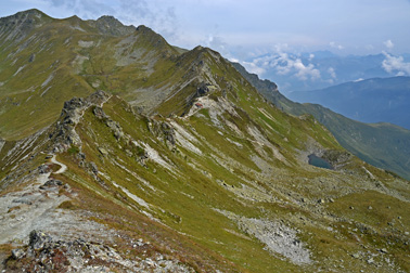
Garneratal from Tübinger Hütte
|
Fine view of the Silvretta from Wiegensee
|
Nenzigasttal, a side valley of the Klostertal
|
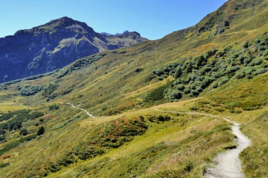
The Latschätzer Hohenweg towards the Lindauer Hütte
|
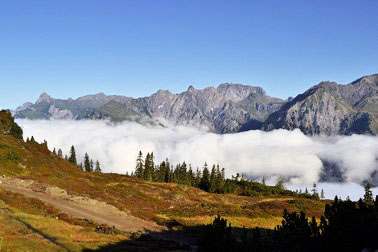
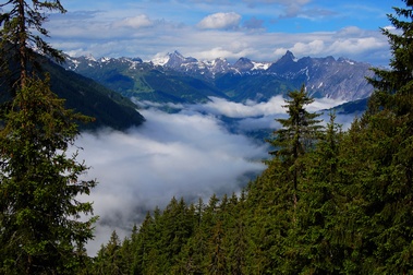
Cloud inversion over Klostertal
|

Litzner Glacier near Saarbrückner Hütte
|
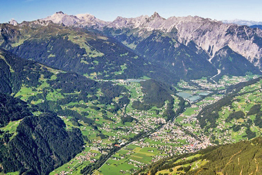
Schruns, Tschagguns, Monterfonertal and the Rätikon
|

View down Kromertal towards Vermunt Stausee
|
Through the Bürserschlucht, Brandnertal
|
Nenzinger Himmel in the beautiful Gamperdonatal
|
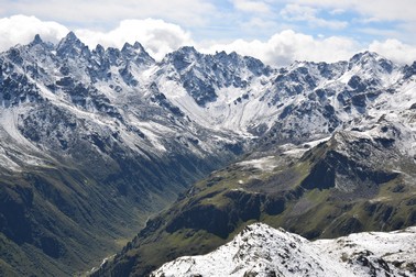
Silvretta peaks and Garneratal
|
Schesaplana and Brand Glacier
|
Spullersee in Lechquellengebirge
|
Along the Schmugglerpfad near Gargellen
|
On Madrisella summit - 2466m
|
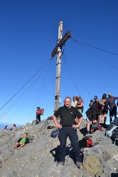
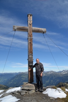
On Schesaplana summit - 2964m
|
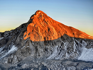
Alpenglow on Schesaplana
|
Along the Rätikon Höhenweg Süd at Gafalljoch
|
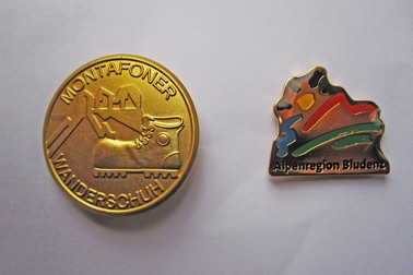
Gold class Hiking badges
|
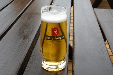
Fohrenburger beer, brewed in Bludenz
|
 This area of the Vorarlberg isn't too well known to British Summer visitors.
The Montafon valley is enclosed by 3 alpine ranges: the Rätikon, Silvretta and Verwall groups.
These ranges provide many hiking trails, catering for all levels of experience, so if daunted by the signs that read "Trittsicherheit und Schwindelfreiheit erforderlich", it's always possible to find an easier trail to hike.
My first visit to the Montafon Valley was in June 2004, prior to attending the Hamradio rally at Friedrichshafen.
I took a tent and camped at Schruns, the main village of the valley.
Since my first visit, I've returned to the area 6 more times to camp and hike, most recently in 2017, as this area contains everything one requires make an enjoyable walking holiday.
On subsequent visits, I've camped near Bludenz, the home of the Fohrenburger Brewery and Milka chocolate factory. Bludenz is well situated at the meeting point of 5 different valleys: the Montafon, Klostertal, Brandnertal, Walgau and Groß Walsertal.
Each of these valleys is unique and all are served by excellent public transport links. The Montafon has a few smaller side valleys, all reachable by bus services from Schruns, the central town of the Montafon.
I always purchase the Montafon-Silvretta (now Monafon-Brandnertal) card, which not only provides free travel on buses and trains and free use of all cablecars and chairlifts in the Montafon, but also in other valleys in the area. The card originally included some of the Tirol, but no longer, alas.
This area of the Vorarlberg isn't too well known to British Summer visitors.
The Montafon valley is enclosed by 3 alpine ranges: the Rätikon, Silvretta and Verwall groups.
These ranges provide many hiking trails, catering for all levels of experience, so if daunted by the signs that read "Trittsicherheit und Schwindelfreiheit erforderlich", it's always possible to find an easier trail to hike.
My first visit to the Montafon Valley was in June 2004, prior to attending the Hamradio rally at Friedrichshafen.
I took a tent and camped at Schruns, the main village of the valley.
Since my first visit, I've returned to the area 6 more times to camp and hike, most recently in 2017, as this area contains everything one requires make an enjoyable walking holiday.
On subsequent visits, I've camped near Bludenz, the home of the Fohrenburger Brewery and Milka chocolate factory. Bludenz is well situated at the meeting point of 5 different valleys: the Montafon, Klostertal, Brandnertal, Walgau and Groß Walsertal.
Each of these valleys is unique and all are served by excellent public transport links. The Montafon has a few smaller side valleys, all reachable by bus services from Schruns, the central town of the Montafon.
I always purchase the Montafon-Silvretta (now Monafon-Brandnertal) card, which not only provides free travel on buses and trains and free use of all cablecars and chairlifts in the Montafon, but also in other valleys in the area. The card originally included some of the Tirol, but no longer, alas.