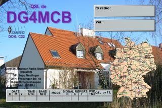
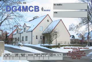
German Amateur Radio Station
DG4MCB
OP: Sepp

![]()
Locator: JN58RJ - 11*
28' 37'' E / 48* 24' 16'' N (WGS84)
465m above sealevel
my QSL cards
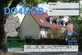
German Amateur Radio Station
DG4MCB
OP: Sepp
![]()
Locator: JN58RJ - 11*
28' 37'' E / 48* 24' 16'' N (WGS84)
465m above sealevel
 |
 |
 |
 |
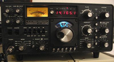
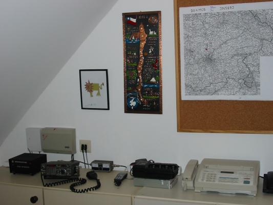
HF-RX/TX:
Sommerkamp FT-901DM
160 - 80 - 40 - 20 -
15 - 10m SSB
15m / 20m dualband wire
dipole antenna, direction: 50 / 30 degrees
40m monoband wire dipole
antenna, direction: 155 degrees
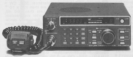
frequ: 144 ... 146 MHz
430 ... 440 MHz
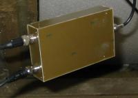
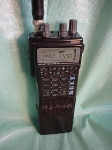
RX/TX: Alinco DJ 560,
FM (2W / 0,2W)
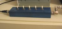
Packet Radio / APRS:
soundcard modem
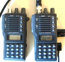
RX/TX: Alinco DJ-F1E,
FM (5W / 1W / 0,2W) Freq: 144 ... 146 MHz
RX/TX: Alinco DJ-F4E,
FM (5W / 1W / 0,2W) Freq: 430 ... 440 MHz
VHF standby frequency: 145.600 via DB0XF

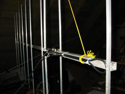
abt. 11 m above ground |
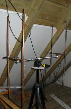
coupled HB9CV antennas for 145 MHz
|
VHF / UHF antennas
|
|
|
|
|
Easy to use transformation of positions from / into Maidenhead Locator, latitude and longitude in decimal, DMS, DMH, Gauss-Krüger and UTM format. |
Einfache Umrechnung von Positionsdaten von / nach:
|
|
|
|
|
data base with almost all 2m and 70cm FM-repeaters in DL and OE |
Positionsdatenbank fast alle 2m und 70cm FM-Relais in DL und OE |

QTH Locator V0.28, Example: distance and angle display

QTH Locator V0.28, Example: map display