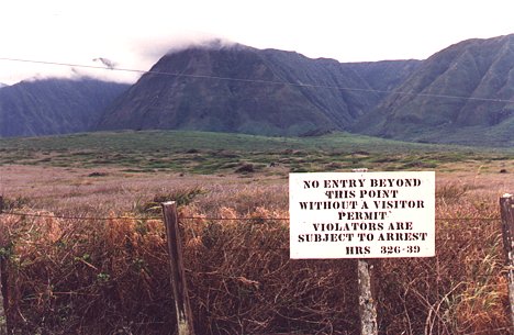
There are two ways to enter Kalaupapa peninsula -- the treacherous winding
trail from the steep cliffs that mark the settlement's inland boundary,
or via small propeller plane on its tiny airstrip. The handful of remaining
residents in this former leper colony stay voluntarily, and the sign below
reminds visitors that entry is restricted without their prior permission.
-----------------------------------------
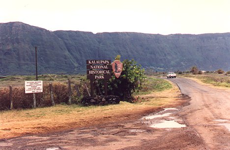
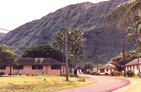
The road from the airport into Kalaupapa National Historical Park and the
settlement itself.
-----------------------------------------
The sleepy town of Kalaupapa.
-----------------------------------------
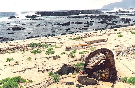
The wind-swept eastern shore of the peninsula is littered with flotsam; there
are simply not enough residents to keep the beaches cleared.
-----------------------------------------
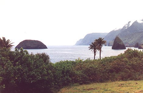
Dramatic seascape view from the windward coast, just down the road from
the church built by Father Damien.
-----------------------------------------
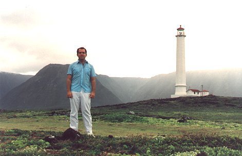
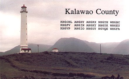
Self portrait with the lighthouse on Kalaupapa (thank God for tripods!).
Completed in 1909 and operating automatically since 1966, the Molokai Light
is the tallest and brightest in the Pacific, casting a visible beam
more than 20 miles offshore.